Jonathan Tirone, reporting for Bloomberg:
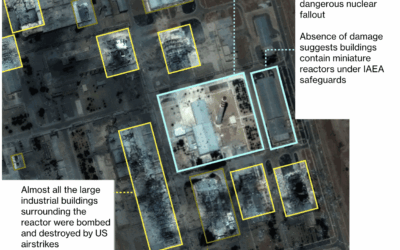
Notably absent from the latest International Atomic Energy…
satellite imagery
-
Satellite imagery shows avoided nuclear reactors in Iran
-
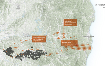
Reach of a deadly wildfire in South Korea
South Korea experienced its largest and most deadly wildfire last month in Uiseong…
-
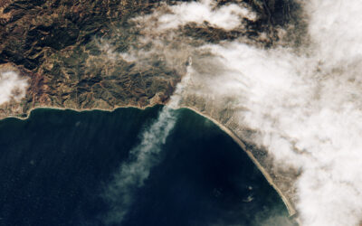
Palisades fire, seen from above
Sentinel-2 satellite of the European Space Agency captured an image of the Palisades…
-
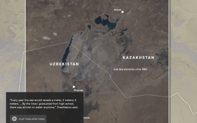
Drying of the Aral Sea and its source rivers
NPR reports on the drying Central Asia water sources. The Aral Sea has…
-
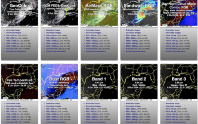
Seen from space: Hurricane Milton approaches
NOAA has a viewer for their GOES (Geostationary Operational Environmental Satellite) system, which…
-
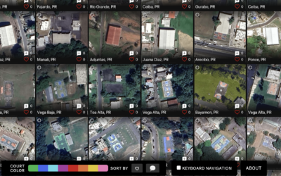
Satellite imagery of all the outdoor basketball courts
For The Pudding, Matthew Daniels extracted all the outdoor basketball courts in the…
-
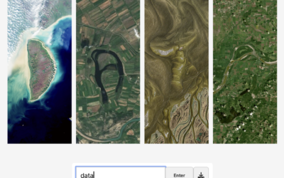
Spell your name with satellite imagery
Here’s a fun interactive from NASA Landsat that lets you enter your name…
-
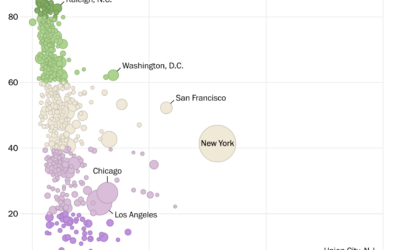
Access to nature where you live
NatureQuant processes and analyzes satellite imagery to quantify people’s access to nature. They…
-
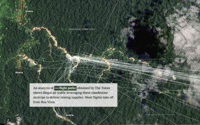
Using satellite imagery to tell stories
Satellite imagery on its own can be limited in what it can say…
-
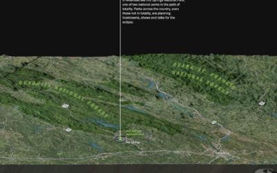
Mile-by-mile map along the path of totality
On April 8, 2024, the moon is going to completely block the sun…
-
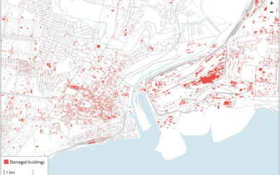
Using satellite imagery to assess the damage in Ukraine
The Economist combined two satellite imagery sources, one that estimates fire events and…
-
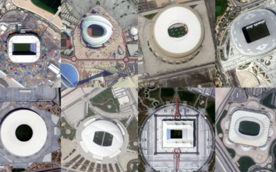
$300b World Cup seen through satellite imagery
Qatar spent $300 billion with a ‘b’ over the past twelve years to…
-
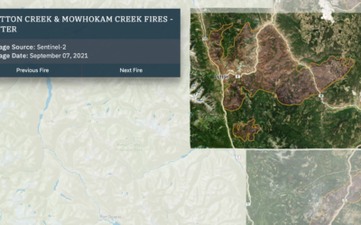
Wildfires and floods, a geographic before and after
In 2021, a large portion of North America was stuck in a heat…
-
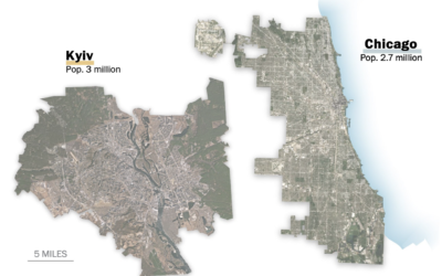
Scale of Ukrainian cities
When you look inside the cities around the world, you will often find…
-
Scale of the Tonga eruption
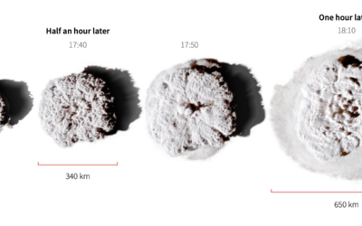
Manas Sharma and Simon Scarr used satellite imagery to show the scale of…
-
Sand mining viewed from above
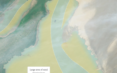
Poyang Lake is China’s largest freshwater lake, but sand mining has changed its…
-
Average color of geographic areas
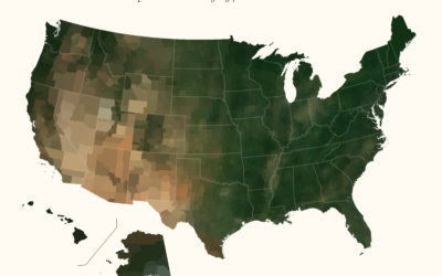
Based on satellite imagery, Erin Davis found the average color of places around…
-
Satellite imagery at a cute angle
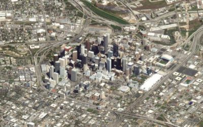
Maybe you remember the SimCity-like views through satellite imagery from a few of…
-
Red-blue electoral map and the green-gray in satellite imagery
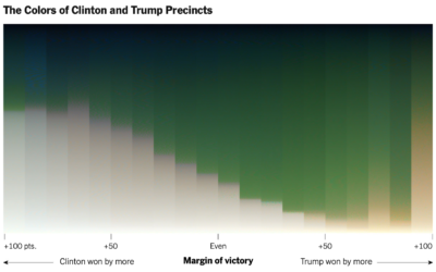
For NYT’s The Upshot, Tim Wallace and Krishna Karra looked at how the…
-
DIY satellite ground station to receive images from NOAA
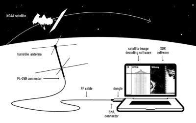
You can basically hook up an antennae to your laptop and start receiving…

 Visualize This: The FlowingData Guide to Design, Visualization, and Statistics (2nd Edition)


