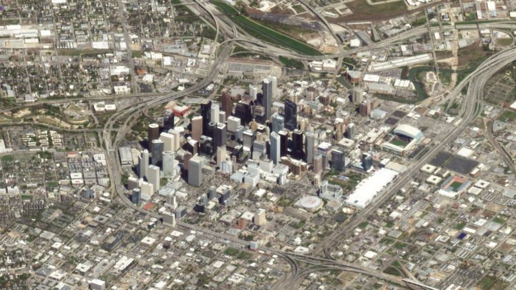
Maybe you remember the SimCity-like views through satellite imagery from a few of years ago. Robert Simmon from Planet Labs returns to the topic discussing practical use cases and advantages over a top-down view:
Satellite imagery surrounds us — from Google Maps and daily weather forecasts to the graphics illustrating news stories — but almost all of it is from a map-like, top-down perspective. This view allows satellite data to be analyzed over time and compared with other sources of data. Unfortunately, it’s also a distorted perspective. Lacking many of the cues we use to interpret the world around us, top-down satellite imagery (often called nadir imagery in remote sensing jargon) appears unnaturally flat. It’s a view that is disconnected from our everyday experience.


 Visualize This: The FlowingData Guide to Design, Visualization, and Statistics (2nd Edition)
