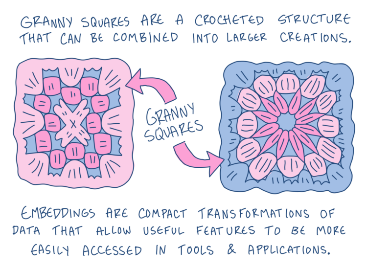
For Development Seed, Kiri Carini and Martha Morrissey explain what embeddings are and what they are used for.
An embedding represents this information as numbers grouped into dimensions of a “latent space.” We are used to describing our world with three spatial dimensions, but dimensions in latent space are mathematical rather than physical. Together, they encode patterns and relationships the model has learned from the data.
As humans living in a three-dimensional world, it’s hard to imagine a space with dozens, hundreds, or even thousands of dimensions. This makes embeddings difficult for humans to interpret directly, but computers have no problem working with these mathematical representations. In practice, an embedding is usually stored as a list of numbers.
Illustrations by Gus Becker provide a crochet metaphor to help you mentally link the steps. While in the context of geospatial data, the guide should also be helpful in understanding embeddings in general.

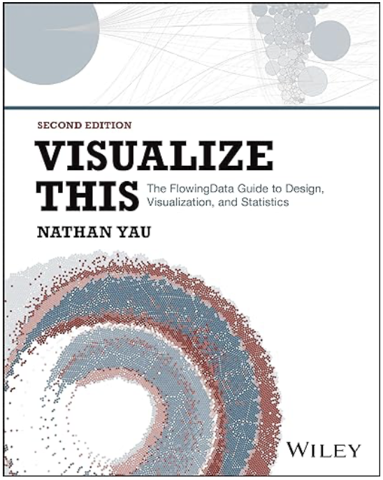 Visualize This: The FlowingData Guide to Design, Visualization, and Statistics (2nd Edition)