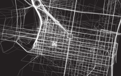
Connect the lines in geographic space and see where they go.
With latitude and longitude coordinates, there are a number of ways to map geographic data using D3.js and Leaflet.
As people and things move through a place, it can be useful to see their connected paths instead of just individual points.
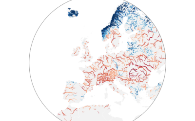
Dominic Royé mapped river discharge in Europe over the past few months: A…
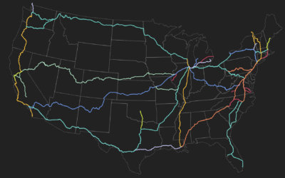
This visual explorer by Rachel Binx lets you see Amtrak routes and stations…
I’m not sure how long this has been around, but the USPS has…
If you can make maps in your software and customize the aesthetics, you…
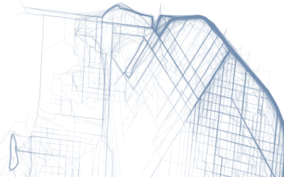
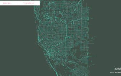
Following up on his mini-app to draw ridgeline maps for elevation, Andrei Kashcha…
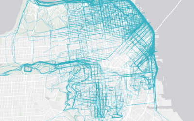
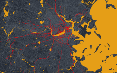
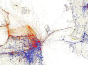
A few years back, cycling and running app Strava mapped the paths of…
A new data source gave rise to a different set of visualization projects. We see people.
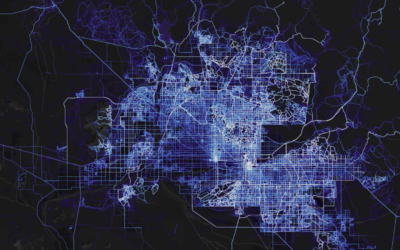
There are many exercise apps that allow you to keep track of your…
A couple of weeks ago you saw Eric Fischer’s maps of Flickr photos…