From David McCandless and team, who you might know from such books as Information is Beautiful and Knowledge is Beautiful has a new book on Beautiful News:
Inspired by our ongoing Beautiful News project, the book surfaces and visualises the amazing, beautiful, positive things *still* happening in the world. Things we can’t always see because we’re fixated on the negativity of the news.
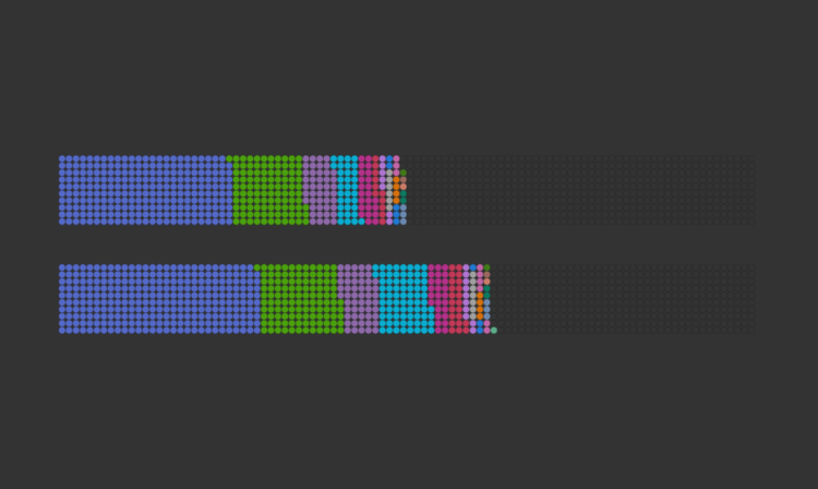
As per our previous books, this one is a welter of beautiful facts & rigorous data, visualised in riotously colourful visualisations, charts & concept maps.
The subject matter free-ranges across many topic areas. But with one thing in common: it’s all good.
It’s available for pre-order, available in the UK at the end of this month and in the US in January 2022.


 Visualize This: The FlowingData Guide to Design, Visualization, and Statistics (2nd Edition)


