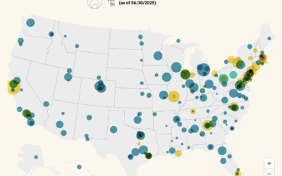
Most of the H-1B attention has been on companies, but many visa holders…
Maps
Intuitive to look at spatial patterns and great for distributing geographic data.
-
Map of H-1B visa holders at research institutions
-
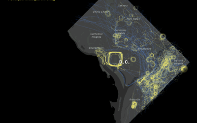
Helicopter paths show circling and hovering in Washington, D.C.
The Washington Post algorithmically identified circling flight paths for helicopters over Washington, D.C.,…
-
Bird migrations in a map explorer
The Bird Migration Explorer shows bird migrations that you can explore. Each color…
-
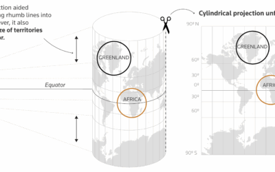
Explaining the true size of Africa, a lesson in map projections
For Reuters, Mariano Zafra and Sudev Kiyada highlight the true size of Africa…
-
Aerial view of Charlie Kirk event
This sight is growing too common in the United States. The New York…
-
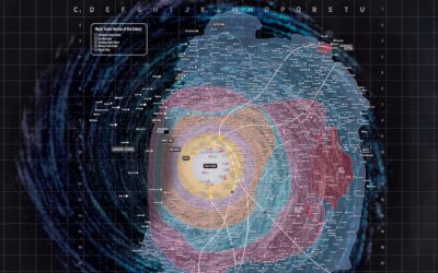
Detailed map of a long time ago in a galaxy far, far away
In case you’re trying to navigate from one star to another in the…
-
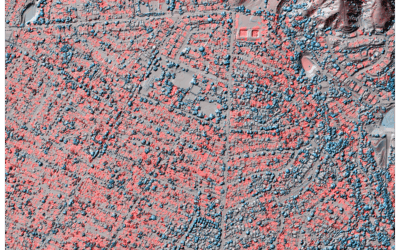
Lidar to measure climate disasters
Jon Keegan of Beautiful Public Data highlights researchers who used lidar to estimate…
-
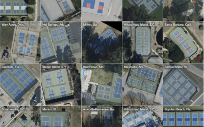
Pickleball courts take over, seen from the skies
For NYT’s the Upshot, Ethan Singer found the birth of pickleball courts in…
-
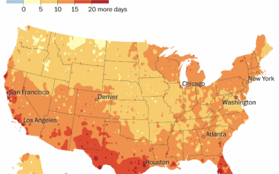
Summer getting longer
For the Washington Post, Kasha Patel and Naema Ahmed mapped the change in…
-
There is no correct map
Speaking of the Correct the Map campaign, Miguel García Álvarez reminds that there…
-
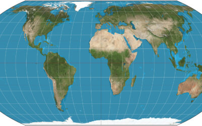
Moving away from Mercator for maps of the world
For Reuters, Catarina Demony and Ayendeng Bior report on the African Union’s push…
-
Paint the world with pixels
Wplace uses a world map as a canvas. Zoom in to where you…
-
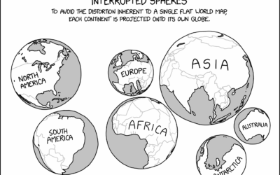
xkcd globe projections
The problem with two-dimensional map projections is distortion creeps in no matter what…
-
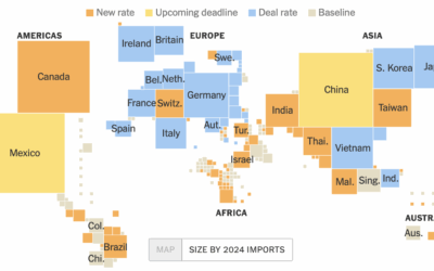
Tariff tracking by country
From Lazaro Gamio, Tony Romm, and Agnes Chang for the New York Times,…
-
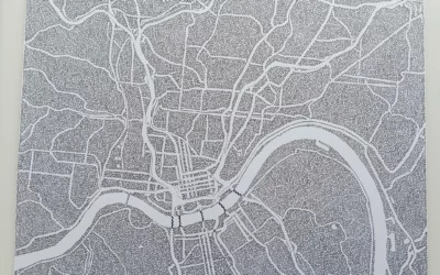
Map drawing with a single line
Just One Line is a fun project that recreates city maps with a…
-
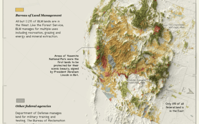
Usage and management of public lands
The administration is pushing policies to open public land, some 59 million acres…
-
Analysis of all the words used on NYC streets
Yufeng Zhao extracted words found in millions of publicly available Google Street View…
-
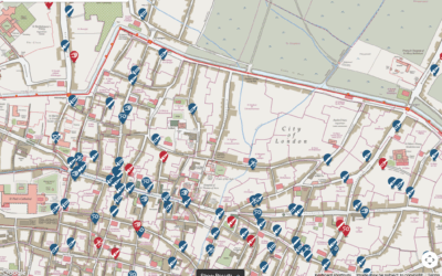
Medieval Murder Maps
Medieval Murder Maps is a project that maps and tells the stories of…






 Visualize This: The FlowingData Guide to Design, Visualization, and Statistics (2nd Edition)

