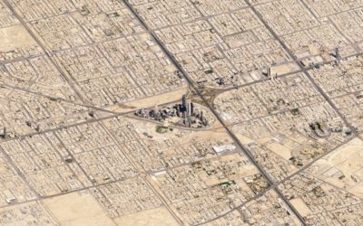
Look from the above at the shapes and geometry we use for cities,…
satellite
-
Shapes we make, seen from the sky
-
SimCity-like views using satellite imagery
Maps typically show a view from straight above, which is good for navigation…
-
A daily high-resolution image of Earth
Planet monitors Earth with hundreds of satellites, and after six years, they’ve built…
-
Landsat satellite imagery browser
Downloading and viewing satellite imagery is a bit of a process. There are…
-
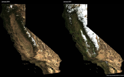
California looks green again
In case you didn’t hear, California had a bit of a drought problem…
-
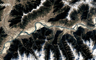
Detailed time-lapse of everywhere on Earth
A few years back, Google released a time-lapse feature in Google Earth that…
-
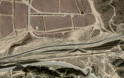
Visualizing the U.S.-Mexican border
There’s been a lot of talk about building a wall at the U.S.-Mexican…
-
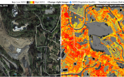
Finding the wet princes of Bel Air
In case you didn’t know, there’s a drought here in California so there…
-
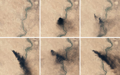
Oil fires in Iraq seen from above
Though far away, there’s still a lot you can see, as the NASA…
-
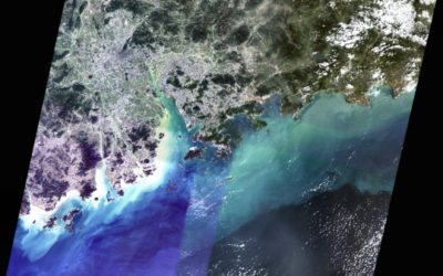
Piecing together satellite images
You might think piecing together satellite imagery is a straightforward task of lining…
-
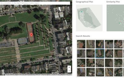
Visual search tool for satellite imagery
Terrapattern is a fun prototype that lets you search satellite imagery simply by…
-
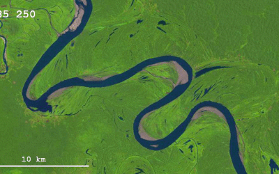
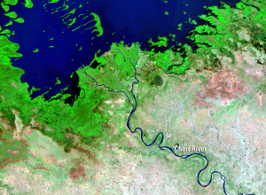
Changing river path seen through satellite images
Sedimentary geologist Zoltan Sylvester downloaded Landsat data using Earth Explorer and strung together…
-
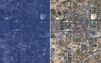
Practical guide for color correction of satellite images
Robert Simmon provides a hands-on guide to get true color from satellite imagery.…
-
Satellite time-lapse of Earth
Charlie Loyd, who works with satellite imagery at Mapbox, put together a 12-second…
-
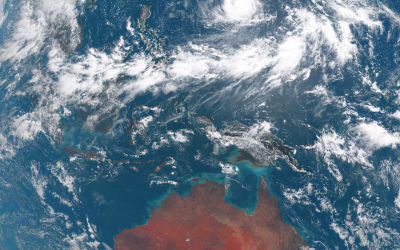
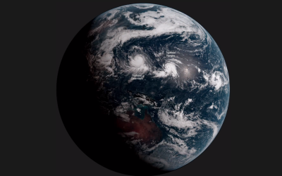
Earth time-lapse from 22,000 miles out
Japan has a new weather satellite in stationary orbit, Himawari-8, that takes a…
-
Satellite time-lapse shows changes on the ground
Since the 1970s, NASA has used satellites to take pictures of the Earth’s…
-
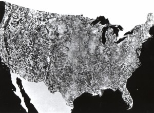
The first photo of the United States by NASA satellite
In 1974, NASA published their first satellite photo of the contiguous United States…
-
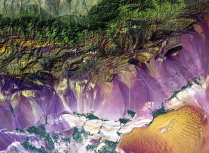
Earth as Art book from NASA
The Earth as Art is a compilation of NASA satellite imagery that shows…
-
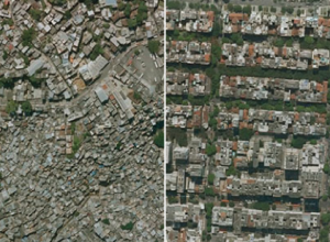
Income inequality seen in satellite images from Google Earth
Researchers Pengyu Zhua and Yaoqi Zhang noted in their 2008 paper that “the…
-
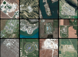
Geography of incarceration
New York University graduate student Josh Begley grabbed 4,916 satellite images of prisons…

 Visualize This: The FlowingData Guide to Design, Visualization, and Statistics (2nd Edition)
