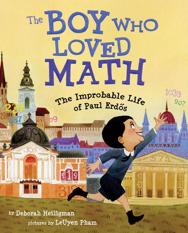
In this straightforward video, Marius Budin offers a look at our insecurities as get older through the eyes of Google Suggest. If anything, it’s clear that there’s one thing we fear throughout: loneliness. Although, the suggestions in the early years worry me.
-
-
Stephen Wolfram analyzed the Facebook world, based on anonymized data from the Wolfram|Alpha Data Donor program. He visits topics from how people friend, how the Facebook world compares to the real one, and how people change with age.
People talk less about video games as they get older, and more about politics and the weather. Men typically talk more about sports and technology than women—and, somewhat surprisingly to me, they also talk more about movies, television and music. Women talk more about pets+animals, family+friends, relationships—and, at least after they reach child-bearing years, health. The peak time for anyone to talk about school+university is (not surprisingly) around age 20. People get less interested in talking about “special occasions” (mostly birthdays) through their teens, but gradually gain interest later. And people get progressively more interested in talking about career+money in their 20s. And so on. And so on.
Worth the full read.
-
As an alternative to dot density maps, Binify by Kevin Schaul allows you to map with hexagon binning in Python.
Dot density maps are a straightforward way to visualize location data, but when you have too many locations, points can overlap and obscur clusters and trends. That’s where binning comes in. Generally speaking, the goal is to look at an area on a map and then count how many points are within that area. Do that across the entire area.
Grab the package on GitHub and go to town.
-
This stop motion video from BuzzFeed shows how much food you can buy for $5 USD in different countries. For example, five bucks will get you 7 pounds of rice in the United States and 12 pounds in China. The video is straightforward, but the animation of food appearing and disappearing — or rather, added and taken away — lends well to the context that you wouldn’t get from a quick chart.
Read More -
-
Mr. Dalliard provides this handy flowchart to organize time travel movies. And yes, I immediately looked for Back to the Future and backtracked.
-
-
-
The Kepler mission by NASA has discovered more than 100 planets that orbit stars. Jonathan Corum for The New York Times visualized the ones with known size and orbit using small multiples. Scroll all the way down for our solar system as a point of reference.
-
With the start of the NBA playoffs tomorrow, it’s worth coming back to Kirk Goldsberry’s analysis on the evolution of Lebron James’ shot preference. James used to hang around the 3-point line a lot, but he spends a lot more time in the low post these days.
Read More -
Designer Ruben van der Vleuten was curious about the shipping process, so he did what anyone would do. He installed a camera in a cardboard box and shipped it to himself. Below is a time-lapse video of the package’s journey.
[via Co.Design]
-
-
Data is an abstraction of something that happened in the real world. How…
-
This video clearly describes the distribution of wealth in America using a set of transitioning charts. The graphics are good. The explanation is better.
-
-
-
-
Data visualization group Dataveyes looks closer at the Paris metro system from a time and crowd point of view.
This visualization offers to challenge the way we traditionally view our 2D metro maps. Métropolitain takes on an unexpected gamble: using cold, abstract figures to take the pulse of a hectic and feverish metropolis. The metro map is no longer arbitrarily dictated by the spatial distance between two points. By playing around with two extra variables — time and crowds — users can transform the map, view it in 3D and unveil the true reality behind their daily commute.
No doubt inspired by the Travel Time Tube Map of the London Underground by Tom Carden, Métropolitain lets you select a station and the lines morph to represent how long it takes to get to other stations. A layer underneath is a heatmap that shows annual incoming traffic per station.
Finally, you can switch between 2-D and 3-D. I’m not sure if the extra dimension adds much from an understanding point of view, but it is fun to play with. [via infosthetics]
-
Over the last 12 years, astronauts have taken a lot of pictures from the International Space Station. About 1.1 million of them. And they’re all archived on NASA’s servers. Nathan Bergey mapped them.
Most of the photos are taken of land. Coastlines, islands and cities seem to be popular targets. So much so that it’s possible to make out basic continents. This makes sense, photos of clouds over an otherwise blank ocean get old after a while. I’m sure every astronaut has taken at least one photograph of the town they grew up in.
Above is the use of small multiples to show pictures taken during separate missions.