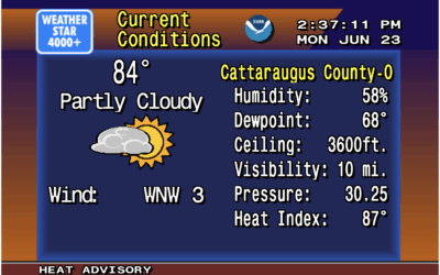
There was a time when you tuned in to the Weather Channel on…
vintage
-
Weather displayed as vintage 1990s forecast on the Weather Channel
-
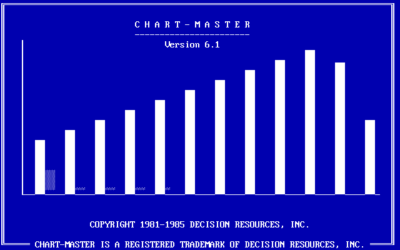
Charting software that pre-dates Excel
RJ Andrews digs up the PC archives of charting software. Scrolling through the…
-
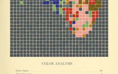
Generate a color analysis by uploading an image
Mel Dollison and Liza Daly made a fun interactive that lets you upload…
-
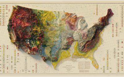
Vintage relief maps
Muir Way updates vintage relief maps with a third dimension. Pretty. The above…
-
Exhibition of historical visualization
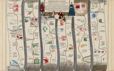
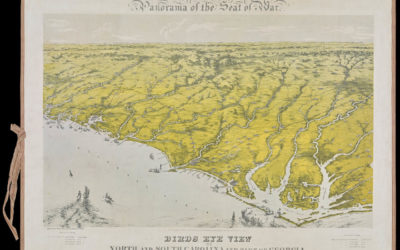
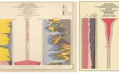
RJ Andrews, in collaboration with the David Rumsey Map Center, curated a collection…
-
Members Only
Variable Width is Back (The Process 102)
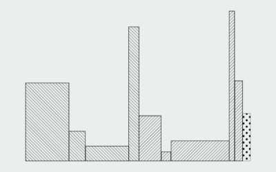
This past month an old chart type poked its head out from behind the trees and I’m here for it.
-
Members Only
Old Charts and New Ideas (The Process 094)
If you’re looking for visual inspiration, one or two centuries back is a good place to start.
-
Forgotten map types
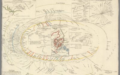
Geographer Tim Wallace likes to look at old maps, and is particularly fond…
-
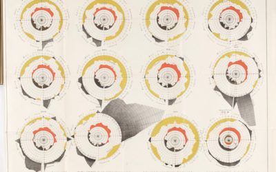
Charting cholera, beyond John Snow
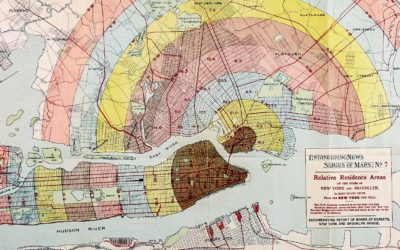
John Snow, who often gets the credit for showing the geographical patterns of…
-
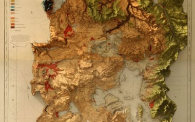
Vintage map with modern 3-D elevation
This vintage recreation by graphic designer Scott Reinhard fills all the right checkboxes…
-
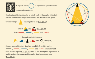
Modern reproduction of 1847 geometry books
Euclid’s Elements is a series of 13 books produced in 300 BC that…
-
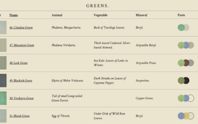
Interactive recreation of an 1821 color guidebook
I’m always down for faux vintage, online recreations of actual vintage visualization-related things.…
-
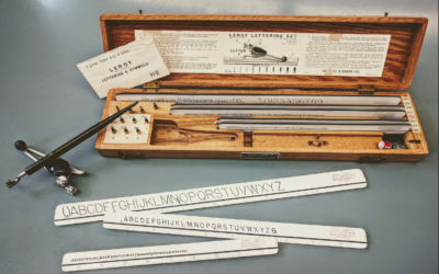
Visualization in the 1980s, just before the rise of computers
Graham Douglas, a data journalist at The Economist, looks back on the days…
-
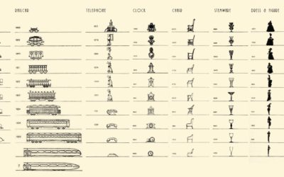
Vintage chart shows the evolution in design of everyday objects
By Raymond Loewy, this chart from 1934 shows the shifts in design of…
-
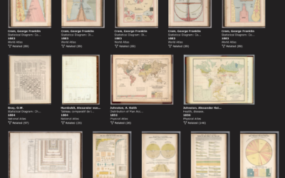
Rumsey Collection with a data visualization subject tag
The David Rumsey Map Collection, known for its many browsable historical maps, now…
-
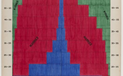
Graphs from 1900 that depict a snapshot of African American life
In 1900, W. E. B. Du Bois and his students drew a series…
-
History of data visualization
I have an affinity for new things designed as old things, so this…
-
Balloon maps
There was a time when the best way to get a view from…
-
Steampunk infographics
Geoff McGhee for National Geographic highlights a handful of projects that form a…
-
Link
Vintage map design with QGIS
A quick, three-step tutorial on how to make maps that look vintage in the open source QGIS. [via]

 Visualize This: The FlowingData Guide to Design, Visualization, and Statistics (2nd Edition)
