
The poster by Daniel E. Coe shows the life-like historical flows of the Willamette River in Oregon.
This lidar-derived digital elevation model of the Willamette River displays a 50-foot elevation range, from low elevations (displayed in white) fading to higher elevations (displayed in dark blue). This visually replaces the relatively flat landscape of the valley floor with vivid historical channels, showing the dynamic movements the river has made in recent millennia. This segment of the Willamette River flows past Albany near the bottom of the image northward to the communities of Monmouth and Independence at the top. Near the center, the Luckiamute River flows into the Willamette from the left, and the Santiam River flows in from the right.
Only $15 in print. [Thanks, Larry]
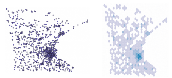
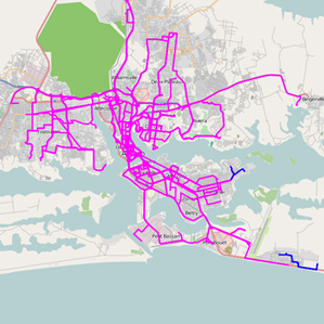 In parts of the world where there are few smartphones and GPS-enabled devices, transportation architecture has to be designed based on less granular resources, such as surveys, which can result in rough estimates.
 Ben Orlin likes math and teaching. He’s bad at drawing. He has a blog on


 Visualize This: The FlowingData Guide to Design, Visualization, and Statistics (2nd Edition)


