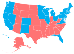
Add another way to make state-level choropleth maps. Stately, a project by Intridea,…
Maps
Intuitive to look at spatial patterns and great for distributing geographic data.
-
Stately: A simple map font
-
Link
Finding and Making Sense of Geospatial Data on the Internet
Steven Citron-Pousty provides a thorough primer on finding and making sense of geospatial data on the Internet.
-
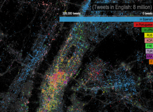
Languages of New York, via Twitter
In a follow-up to their map on most used languages in London, James…
-
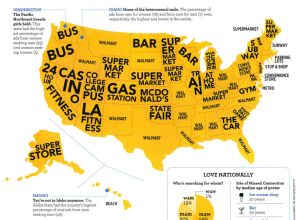
Map of Craigslist Missed Connections
On Craigslist there’s a section in the personals for “missed connections” which lets…
-
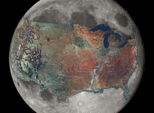
U.S. overlaid on the Moon for a sense of scale
How big is the Moon, really? Reddit user boredboarder8 provided some perspective with…
-
A shroud of cold air descends on the U.S.
From NOAA, an animation showing a wave of cold during the Martin Luther…
-
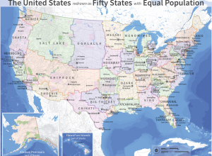
Redrawn United States of electoral votes
Neil Freeman reimagined state boundary lines based on population. He started with an…
-
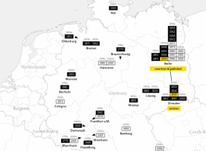
Mapping translations of Othello
Tom Cheesman of Swansea University, along with Kevin Flanagan and Studio NAND, dives…
-
Link
How much is mapping worth →
A comeback for geography
-
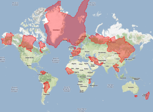
Mercator map puzzle
The Mercator projection can be useful for giving directions, but when it comes…
-
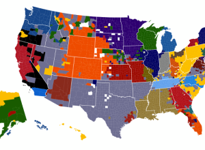
NFL fans on Facebook, based on likes
As the Super Bowl draws near, Facebook took a look at football fandom…
-
Ten years of cumulative precipitation
We’ve all seen rain maps for a sliver of time. Screw that. I…
-
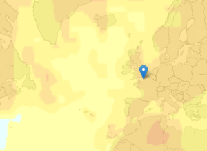
Global temperature rises over past century
New Scientist mapped global temperature change based on a NASA GISTEMP analysis.
The… -
Link
D3 map projections →
A collection by Jason Davies of the map projections possible with D3
-
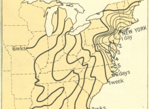
Time of travel in the 1800s
From the 1932 Atlas of the Historical Geography of the United States, these…
-
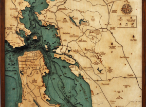
Wood charts reveal layers of underwater world →
Below the Boat produces beautiful laser-cut wood maps:
Starting with a bathymetric chart… -
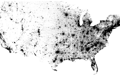
Map of every person counted in 2010 US Census
In the 2010 United States Census, 308,745,538 were counted, and Brandon Martin-Anderson from…
-
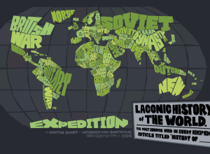
Map: Laconic history of the world
Cartographer Martin Elmer made a truncated history map of the world:
This map…

 Visualize This: The FlowingData Guide to Design, Visualization, and Statistics (2nd Edition)
