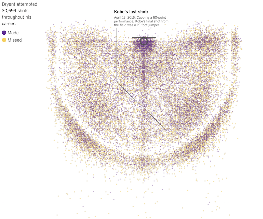
In celebration of Kobe Bryant’s final game, the Los Angeles Times charted all…
Maps
Intuitive to look at spatial patterns and great for distributing geographic data.
-
Every Kobe Bryant shot charted
-
US surveillance flight paths for the FBI and Homeland Security
Peter Aldhous and Charles Seife dug into flight path data, specifically looking for…
-
Flyover Country app tells you about the ground beneath as you fly
Before your next flight, road trip, or hike, download the Flyover Country app…
-
Changing river path seen through satellite images
Sedimentary geologist Zoltan Sylvester downloaded Landsat data using Earth Explorer and strung together…
-
Coastline across the ocean, from where you’re standing
A couple of years ago, Eric Odenheimer wondered: If you stand on the…
-
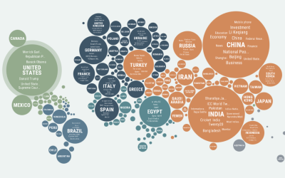
Regional news coverage around the world
Popular news topics change depending on where you are, as what’s important to…
-
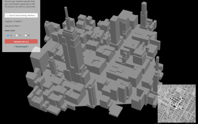
Send map tiles to 3-D printer
Mapzen, which offers a vector tile service, made Tile Exporter, so that you…
-
Hurricane simulations show severe flooding in Houston
In 2008, Hurricane Ike blew just past the Houston Ship Channel, “home to…
-
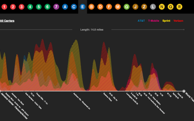
Cell reception on the subway, mapped
Daniel Goddemeyer and Dominikus Baur grew interested in cell reception while on the…
-
Wind prediction and potential power
As we use up current energy resources, it grows more important to look…
-
Satellite time-lapse of Earth
Charlie Loyd, who works with satellite imagery at Mapbox, put together a 12-second…
-
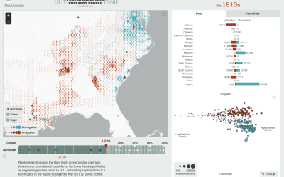
Atlas of United States history
In a collaboration between the Digital Scholarship Lab at the University of Richmond…
-
All known planets outside our solar system
Jan Willem Tulp, in collaboration with Visualized, shows all known exoplanets (currently 1,942…
-
Tour of a million stars
The Online Star Register takes you through a delightful view of a million…
-
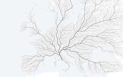
All the roads that lead to Rome
As the saying goes, “All roads lead to Rome.” Folks at the moovel…
-
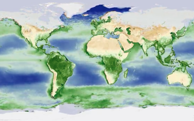
Plant life cycle shows a breathing Earth
NASA mapped the annual cycle of all plant life on the planet in…
-
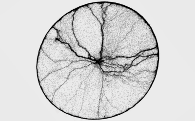
Ant time-lapse shows movement patterns
Ant activity can seem mysterious at times. The pack seems to start out…
-
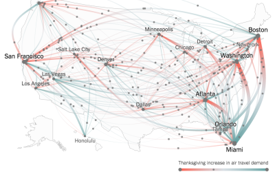
Thanksgiving flight patterns
Millions of Americans will fly home this Thanksgiving weekend. (Based on my morning…






 Visualize This: The FlowingData Guide to Design, Visualization, and Statistics (2nd Edition)


