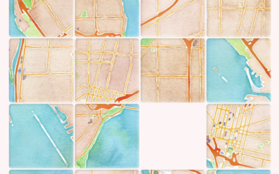
Any Map Puzzle by Ahmad Barclay lets you search for a location and…
OpenStreetMap
-
Turn map locations to slide puzzles
-
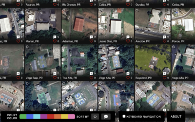
Satellite imagery of all the outdoor basketball courts
For The Pudding, Matthew Daniels extracted all the outdoor basketball courts in the…
-
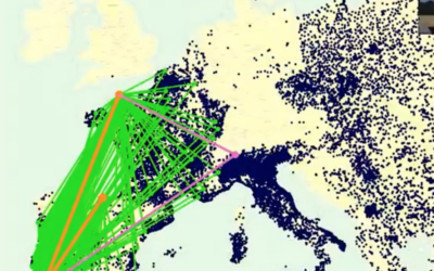
Algorithmic road trip to visit a street named after each day of the year
Ben Ashforth set out to visit a street named after a day of…
-
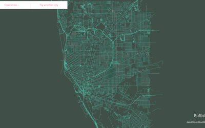
Make a streets map of anywhere in the world
Following up on his mini-app to draw ridgeline maps for elevation, Andrei Kashcha…
-
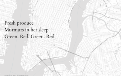
Haikus generated based on your map location and OpenStreetMap data
Satellite Studio made a map thing that generates haikus based on OpenStreetMap data…
-
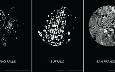
Make a figure-ground diagram using OpenStreetMap data
In visual perception, a figure-ground grouping is where you recognize an object through…
-
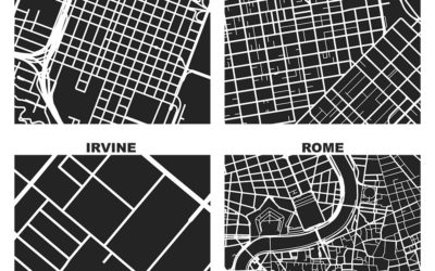
One square mile in different cities
As part of his dissertation, Geoff Boeing generated these maps that show one…
-
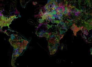
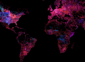
OpenStreetMap, the work of individuals visualized
In the continued series of meta-data-driven maps, OpenStreetMap shows the work of individuals…
-
Easy mapping with Map Stack
It seems like the technical side of map-making, the part that requires code…
-
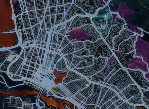
State of the OpenStreetMap
OpenStreetMap, the free wiki world map that offers up high quality geographic data,…

 Visualize This: The FlowingData Guide to Design, Visualization, and Statistics (2nd Edition)
