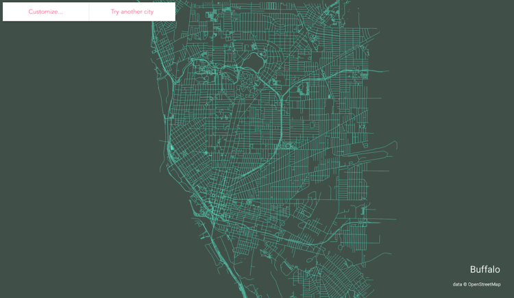
Following up on his mini-app to draw ridgeline maps for elevation, Andrei Kashcha made a tool to draw a streets map of anywhere in the world.
Enter a city, and using data from OpenStreetMap, you’ve got yourself a map for export. You can also easily change the color scheme to your liking, which is fun to play with as you scroll back and forth.
Finally, Kashcha also put the code up on GitHub.

 Visualize This: The FlowingData Guide to Design, Visualization, and Statistics (2nd Edition)