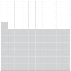
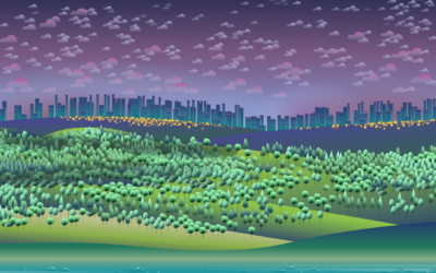
NatureQuant processes and analyzes satellite imagery to quantify people’s access to nature. They…
nature
-
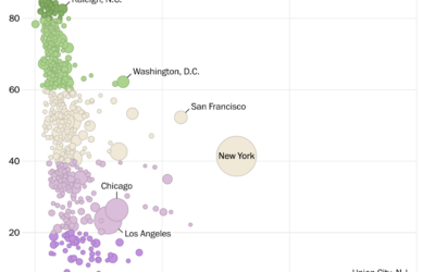
Access to nature where you live
-
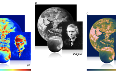
Misuse of the rainbow color scheme to visualize scientific data
Fabio Crameri, Grace Shephard, and Philip Heron in Nature discuss the drawbacks of…
-
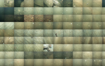
Mapping the sea floor
Jon Keegan on how USGS researchers collected data for 125 square miles of…
-
Lessons learned from making covid dashboards
For Nature, Lynne Peeples spoke to the people behind many of the popular…
-
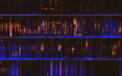
A visual and audio tour of sound at Nap Nap Swamp
When I think swamp noise, I imagine a blob of sound that’s some…
-
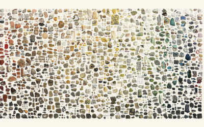
Illustrated color catalog of minerals
Between 1802 and 1817, James Sowerby cataloged and illustrated 718 minerals across seven…
-
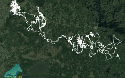
2,774 miles traveled by a lone wolf
From the Voyageurs Wolf Project, a map shows the travels of a lone…
-
A view on despair
Sonja Kuijpers used abstract imagery to represent some sobering numbers:
You might be… -
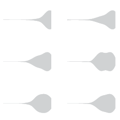
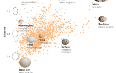
Charting bird egg shapes, and why so many varieties
Bird eggs come in all shapes and sizes, and people didn’t really know…
-
Immersive digital waves to visualize nature
FLOW is an interactive art installation by Maotik that represents real-time weather data…
-
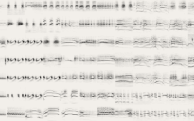
Visual collection of bird sounds
Different species of birds make different sounds. However, the sounds are so quick…
-
Long-exposure bird flights
Using a long-exposure photography technique, Xavi Bou captured bird flight patterns in his…
-
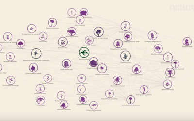
Social network of Earth’s plants and animals
Plants and animals interact with each other to stay alive, which in turn…
-
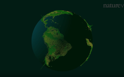
Way more trees than previously thought, new estimates show
There are a lot of trees on this planet.
-
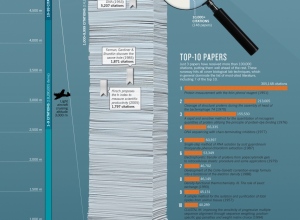
Most cited research papers →
In the department of comparing large numbers to objects and situations that are…
-
Cosmic map shows Milky Way at the edge of a supercluster
Nature highlights the research of R. Brent Tully et al, which defines a…
-
Bird flight paths
Dennis Hlynsky, an artist and a professor at the Rhode Island School of…




 Visualize This: The FlowingData Guide to Design, Visualization, and Statistics (2nd Edition)
