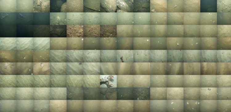
Jon Keegan on how USGS researchers collected data for 125 square miles of sea floor:
In 2004 and 2005, two research vessels, Ocean Explorer and Connecticut set off into the waters off Cape Ann, Massachusetts on a U.S. Geological Survey mission to map a section of the bottom of the sea. Equipped with cameras, advanced sonar and bathymetric scanners, these ships mapped 125 square miles of the sea floor capturing a detailed dataset that allowed U.S. Geological Survey scientists to characterize the makeup of the sediment and bedrock in waters up to 92 meters deep.
 Visualize This: The FlowingData Guide to Design, Visualization, and Statistics (2nd Edition)