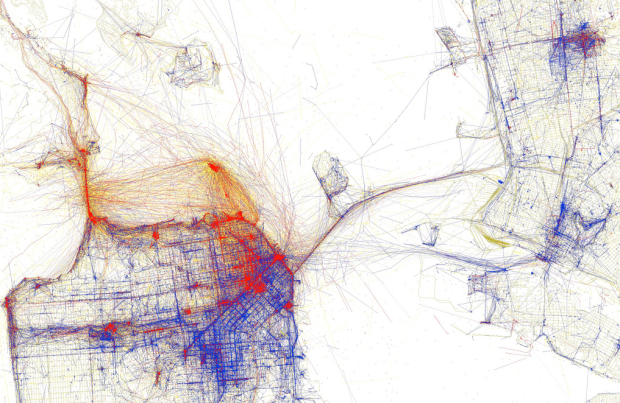
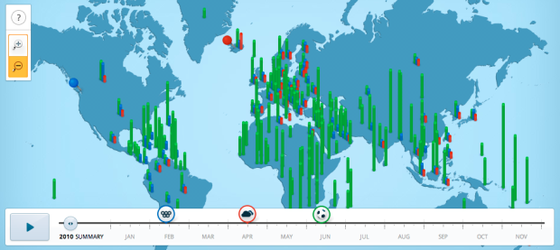
Data visualization and all things related continued its ascent this year with projects popping up all over the place. Some were good, and a lot were not so good. More than anything, I noticed a huge wave of big infographics this year. It was amusing at first, but then it kind of got out of hand when online education and insurance sites started to game the system. Although it’s died down a lot ever since the new Digg launched.
That’s what stuck out in my mind initially as I thought about the top projects of the year. Then I went through the archives. There was a ton of great work, too. So much so that I’ve gone with the top ten data visualization projects of 2010, instead of the top five.
One of the major themes for 2010 was using data not just for analysis or business intelligence, but for telling stories. People are starting to make use of the data (especially government-related) that was released in 2009, and there was a lot more data made available this year (with plenty more to come). There were also more visualization challenges and contests than I could count.
So here are the top 10 visualization projects of the year, listed from bottom to top.
Read More


 Visualize This: The FlowingData Guide to Design, Visualization, and Statistics (2nd Edition)


