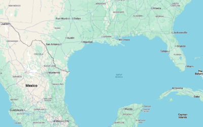
The Gulf of Mexico has been renamed to the Gulf of America in…
USGS
-
Gulf of Mexico changes to Gulf of America
-
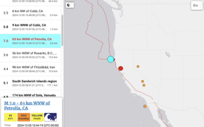
Tsunami alert, because earthquake off coast of Northern California
The folks up here received one of those loud emergency alerts a few…
-
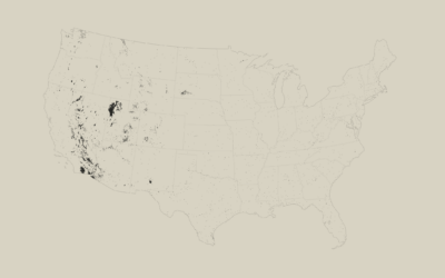
Barren Land
In the conterminous United States, most of the barren land belongs to deserts and mountains in the west.
-
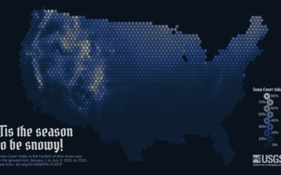
Snow cover mapped using snowflakes
To show snow cover across the United States, Althea Archer for the USGS…
-
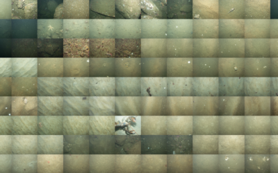
Mapping the sea floor
Jon Keegan on how USGS researchers collected data for 125 square miles of…
-
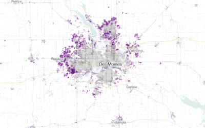
Where America is expanding in developed areas
Zach Levitt and Jess Eng for The Washington Post mapped newly developed areas…
-
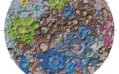
First unified geologic map of the moon
The USGS released a unified geologic map of the moon on a 1:5,000,000-scale…
-
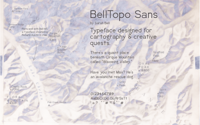
BellTopo Sans is is a free typeface based on maps from 1800s
While working on maps inspired by USGS maps from the 1800s, Sarah Bell…
-
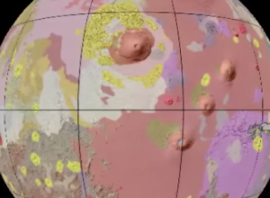
Geologic map of Mars
The USGS released a more detailed geologic map of Mars, not just renderings…
-
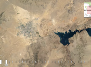
A quarter century of satellite imagery
In collaboration between USGS, NASA and TIME, Google released a quarter century of…

 Visualize This: The FlowingData Guide to Design, Visualization, and Statistics (2nd Edition)
