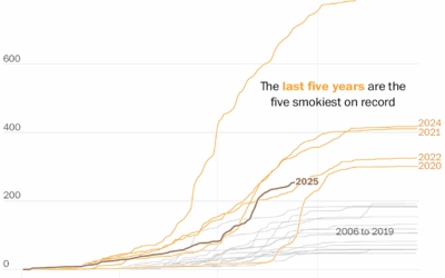
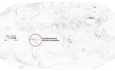
The wildfires keep coming, and the smoke pollution keeps filling the air. It…
pollution
-
More wildfire smoke, pollution, and days
-
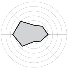
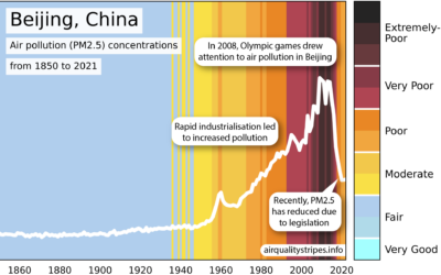
Air Quality Stripes
In a riff on Climate Stripes, which shows global temperature change as a…
-
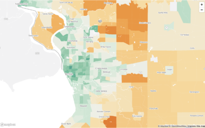
Carbon footprint in the city versus the suburbs
Bringing it down the Census tract level, Nadja Popovich, Mira Rojanasakul and Brad…
-
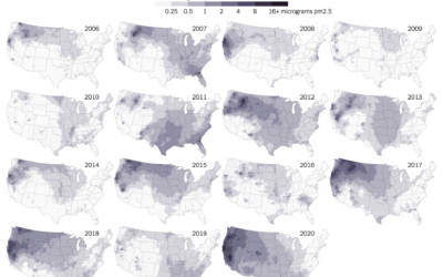
Maps of wildfire smoke pollution
Wildfire obviously damages the areas it comes in direct contact with, but wildfire…
-
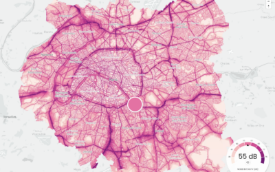
Maps of noise
Karim Douïeb, in collaboration with Possible, mapped noise in Paris, New York, and…
-
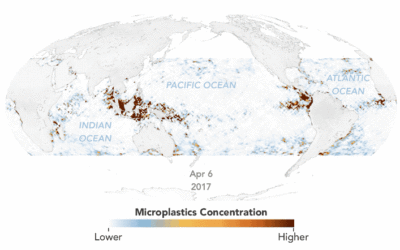
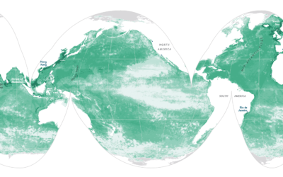
Animated map of microplastics in the ocean
Using estimates based on satellite data, Joshua Stevens for NASA Earth Observatory mapped…
-
Where cancer risk is greater due to air pollution
Based on five years of data from EPA models, ProPublica mapped areas in…
-
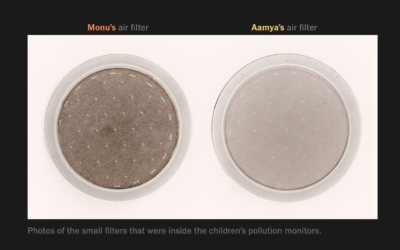
Pollution exposure plotted, a comparison between two kids’ day
The New York Times measured pollution exposure during the day for two kids…
-
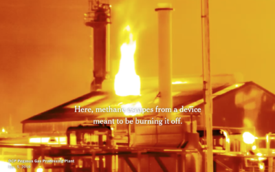
Making invisible gas leaks visible
For The New York Times, Jonah M. Kessel and Hiroko Tabuchi went to…
-
Compare your city’s air pollution to the rest of the world
High air pollution can lead to serious health risks, but you can’t usually…
-
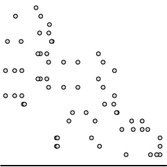
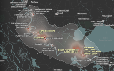
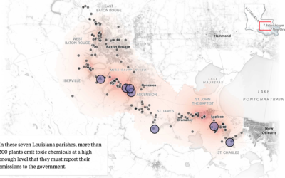
Mapping chemical plants, the pollution around them, and more chemical plants
ProPublica, with The Advocate and The Times-Picayune, estimated chemical concentrations in a highly…
-
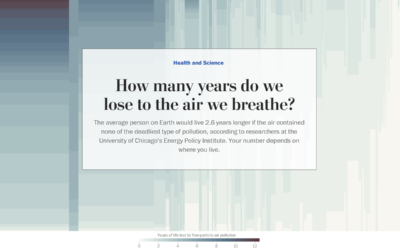
Years of life lost due to breathing bad air
Researchers at the University of Chicago’s Energy Policy Institute estimated the number of…
-
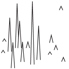
Turning water pollution into audiolized awareness
Brian House collected polluted water with acid mine drainage in the Tshimologong Precinct,…
-
Time-lapse shows night sky at varying levels of light pollution
One of my favorite childhood memories is the time I went camping and…
-
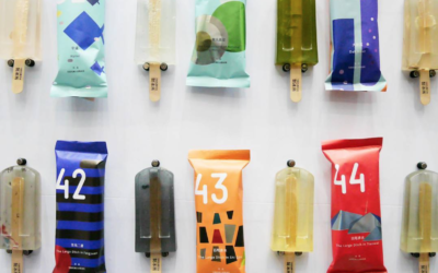
Pollution popsicles
Students at the National Taiwan University of Arts made popsicles using sewage runoff…
-
X-Ray of the oceans
Using satellite data and spatial models, researchers estimate human influence in the ocean.…



 Visualize This: The FlowingData Guide to Design, Visualization, and Statistics (2nd Edition)


