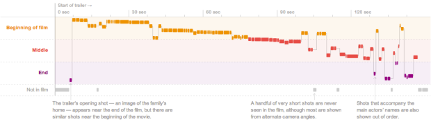
There’s a corner of my desk reserved for books, notes, papers, and other things I am supposed to read or have written and need to rewrite. Each project I work on gets its own stack. But there is limited space on my desk, and if I have too many stacks going at once, everything starts to jumble into one big pile. So I try not to work on too many things in parallel.
There are typically two stacks at any given time: one for books or random projects and the other for my dissertation. The former changes often and was recently cleared on the completion of the Data Points manuscript, and the latter has been persistent for several years.
But I’m happy to finally say that now there are zero stacks.
I’m finally done. I’m officially Dr. Nathan Yau, Ph.D. (but you can still call me Nathan).
It feels weird to say that — like how I imagine lottery winners feel, suddenly being able to say they’re millionaires. It’s surreal at first, but once it sinks in, the sun shines brighter, food tastes better, and the feeling of possibilities rushes through your veins.
I’ve been asked if I would do it again knowing what I know now. After all, it took me over seven years to finish. To be honest, there were many times I wanted to quit, but now that I’m done, I can say that I would do it all again. I wouldn’t do it just for the degree though. Rather I would do it for what came from going through the process: this blog, two books, countless learning experiences in school and through it, and a perspective on work that I wouldn’t have gotten from anything else.
Most importantly, I found what I like to do. It’s awesome.
So now it’s time for a new stack. I’m excited about what it might be.
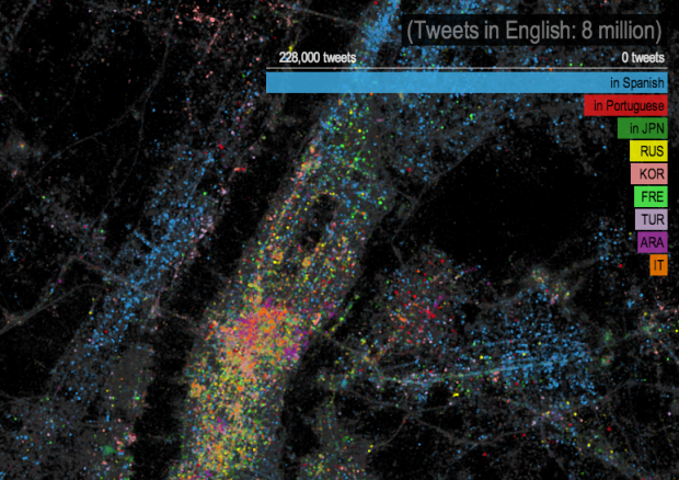
 With Pope Benedict XVI’s resignation, 116 cardinals from various regions have to come a consensus on who will be next. Amanda Cox and Graham Roberts for The New York Times
 Visualize This: The FlowingData Guide to Design, Visualization, and Statistics (2nd Edition)


