Most people, at least those who visit sites like FlowingData, know about map…
Maps
Intuitive to look at spatial patterns and great for distributing geographic data.
-
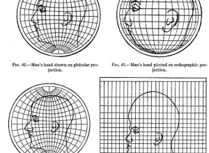
Map projections illustrated with a face
-
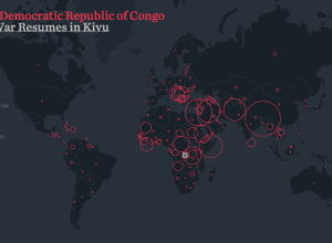
A visual exploration of refugee migrations
Hyperakt and Ekene Ijeoma visualized migrations over time and space in The Refugee…
-
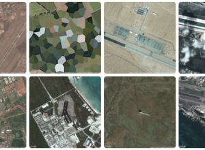
Military footprint
Similar to his collection of prison map snapshots, Josh Begley collected images of…
-
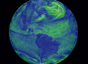
Earth wind map
Remember the wind map of the United States by Martin Wattenberg and Fernanda…
-
Uncertain cartographies
Most people know the layout of their neighborhoods and some are good with…
-
What Antarctica looks like underneath the ice
Based largely on satellite data and the results of an airborne data collection…
-
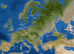
Climate change described visually
A video from the International Geosphere-Biosphere Programme explains global warming and projected changes…
-
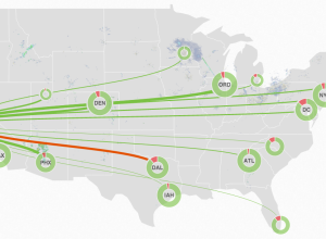
MiseryMap of current flight delays and cancelations
FlightAware is a live flight tracker that lets you look up a flight…
-
Where the public radio is
Andrew Filer mapped the reach of public radio stations in the United Stations,…
-
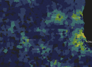
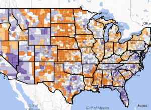
Super ZIP codes →
The Washington Post looked at Super ZIP codes, a classification based on household…
-
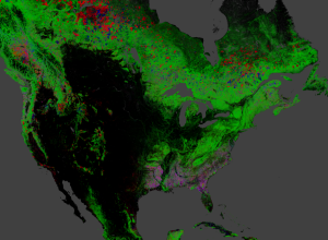
Global forest change
Hansen, Potapov, Moore, Hancher et al. produced high-resolution maps of global forestry to…
-
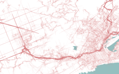
Running traces
The Endomondo app lets you keep track of your workouts, namely running and…
-
Estimated coastlines if the ice melted
National Geographic imagined new coastlines (and the cities that would go under) if…
-
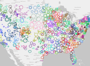
Six decades of U.S. migration
We know that millions of Americans move to different counties every year, and…
-
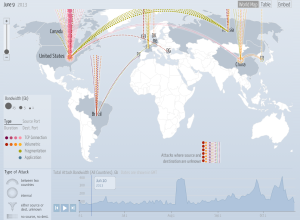
Digital attack map
A Distributed Denial of Service (DDoS) attack attempts to disable a site or…
-
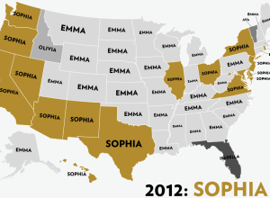
Most popular girl names by state
Reuben Fischer-Baum looks at the most popular girl names by state, over the…
-
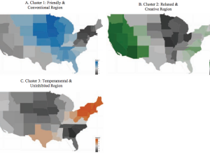
Regional personality
Peter J. Rentfrow, et al. studied personality clusters across states using data from…
-
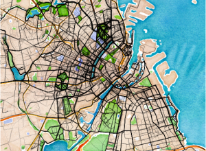
Super duper full-featured paper map
Check out this awesome new thing called MAP. It’s made of 100% sustainable…
Recently for Members
Second Edition
 Visualize This: The FlowingData Guide to Design, Visualization, and Statistics (2nd Edition)
 Visualize This: The FlowingData Guide to Design, Visualization, and Statistics (2nd Edition)
New tools, refined process.
Browse by Chart Type See All →


