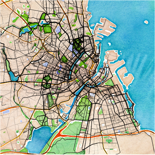
The Endomondo app lets you keep track of your workouts, namely running and cycling, so it records your location, and then estimates your speed, calories burned, and elevation changes. And workouts are set to public by default. Nikita Barsukov used the public traces to make some quick and dirty maps of workouts in major European cities. Above is Copenhagen.
I’m curious about how these compare to car traffic or social media usage. Are they opposites or are they roughly the same, corresponding to number of people who live in an area? And, of course, I want to know what this looks like for American cities.


 Visualize This: The FlowingData Guide to Design, Visualization, and Statistics (2nd Edition)
