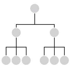
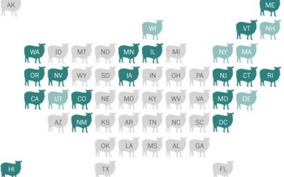
Combining small multiples with the grid layout can make for an intuitive geographic reference.
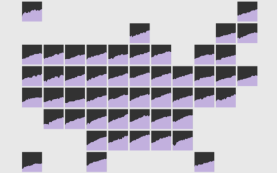
grid map
-
Members Only
How to Make a State Map Grid with Small Multiples in R
-
Link
World Tile Grid Map in ggplot2 →
A straightforward tutorial on using squares instead of geographic boundaries.
-
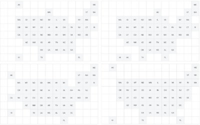
Grid map variations
Grid maps are a useful way to show state-level data, as they give…
-
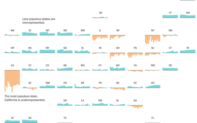
Electoral college and state population representation weights
By design, the electoral college and population don’t quite match up state-by-state. This…
-
Link
Grid map showdown →
A quantitative look at which US grid layout is best.
-
The Great Grid Map Debate of 2015
There’s been a sudden bump in grid maps lately taking the place of…
-
Members Only
How to Make Gridded, Equal-Distance Dot Maps
For when your geographic data is evenly spread rather than aggregated by government boundaries.


 Visualize This: The FlowingData Guide to Design, Visualization, and Statistics (2nd Edition)


