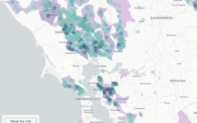
Here in northern California, PG&E is shutting off power to thousands of households…
shapefile
-
PG&E providing shapefiles, instead of a working map for shutoffs
-
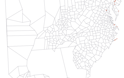
Millions of dollars in tax breaks — because of a mapping error
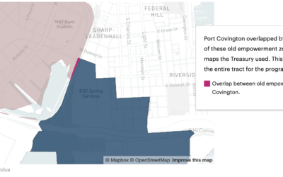
A small discrepancy in a couple of shapefiles led to a misclassification of…
-
Adjusting map data with Mapshaper
Map making is a finicky challenge where oftentimes your map data — points,…
-
Link
tigris →
A package to help you download and map TIGER shapefiles in R.
-
Members Only
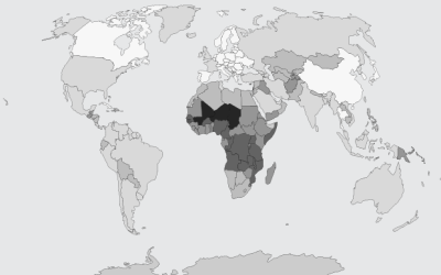
Choropleth Maps and Shapefiles in R
Fill those empty polygons with color, based on shapefile or external data.
-
Convert geographic data to 3-D models for printing
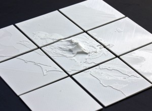
This seems like fun. The NodeJS package shp2stl by Doug McCune lets you…
-
Members Only
Working with Map Projections and Shapefiles in R
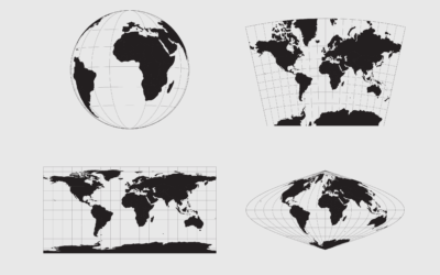
No need to settle for the mapping defaults in R. Apply map projections to show geographic data in a way most suitable for your work.
-
Members Only
Mapping With Shapefiles in R – Getting Started
Geographic data is often available as a shapefile, and there’s plenty of heavy software to get that data in a map. R is an open source option, and as a bonus, much of the work can be done in a few lines of code.

 Visualize This: The FlowingData Guide to Design, Visualization, and Statistics (2nd Edition)


