To contain the fires in Los Angeles, aircraft flew back and forth to…
Esri
-
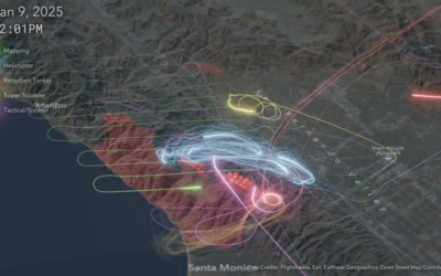
Flight map shows firefighting efforts
-
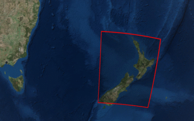
Landsat satellite imagery browser
Downloading and viewing satellite imagery is a bit of a process. There are…
Recently for Members
Second Edition
 Visualize This: The FlowingData Guide to Design, Visualization, and Statistics (2nd Edition)
 Visualize This: The FlowingData Guide to Design, Visualization, and Statistics (2nd Edition)
New tools, refined process.
Browse by Chart Type See All →


