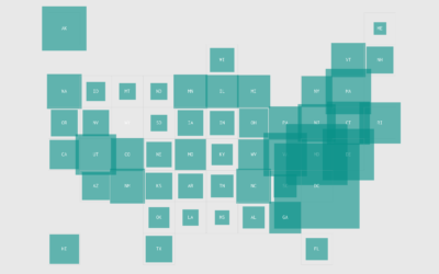
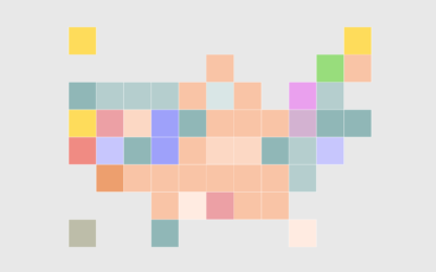
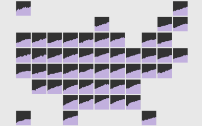
Grid Map
Instead of using geographic boundaries, same-size cells are used to represent areas to provide equal visual attention to all.
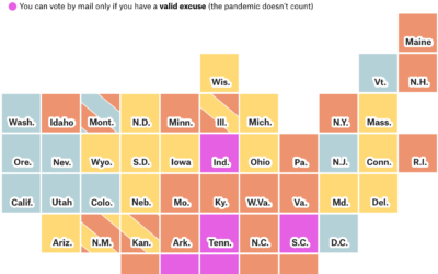
How to vote in each state
Each state is handling mail-in voting in a certain way with varying timelines…
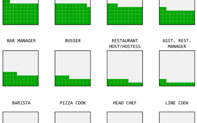
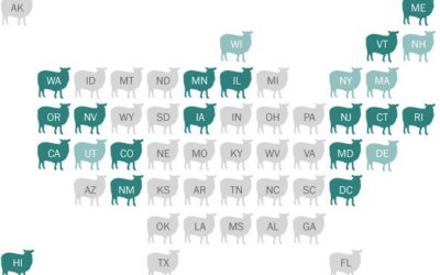
Where Your Job is Most Popular
Some jobs are common nationwide, because they are needed everywhere. Others are more specific to geography. See where job falls on the spectrum.
Most Uniquely Popular Job in Each State
These are the jobs in each state that are most specific to the place.
How to Make a State Map Grid with Small Multiples in R
Combining small multiples with the grid layout can make for an intuitive geographic reference.
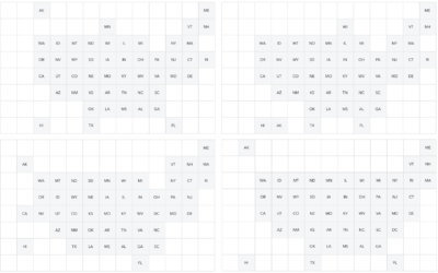
How to Make a State Grid Map in R
Something of a cross between a reference table and a map, the state grid provides equal space to each state and a semblance of the country to quickly pick out individual states.
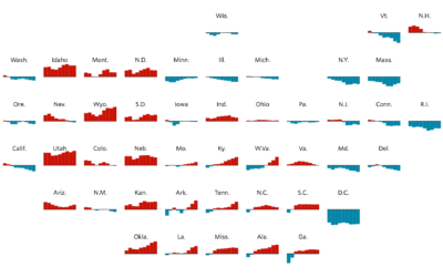
Working on Tips, by State
What percentage of a waiter and waitress's income comes from tips and what comes from salary? The calculation isn't straightforward but we can try.
Mapping the Spread of Obesity
A look at the rise for each state over three decades, for men and women.
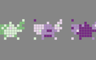
Grid map shows shifting states
You’re likely familiar with the state grid map form used these days. Instead…
The Great Grid Map Debate of 2015
There’s been a sudden bump in grid maps lately taking the place of…
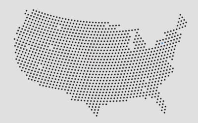
How to Make Gridded, Equal-Distance Dot Maps
For when your geographic data is evenly spread rather than aggregated by government boundaries.