Golphe du Mexique, 1765
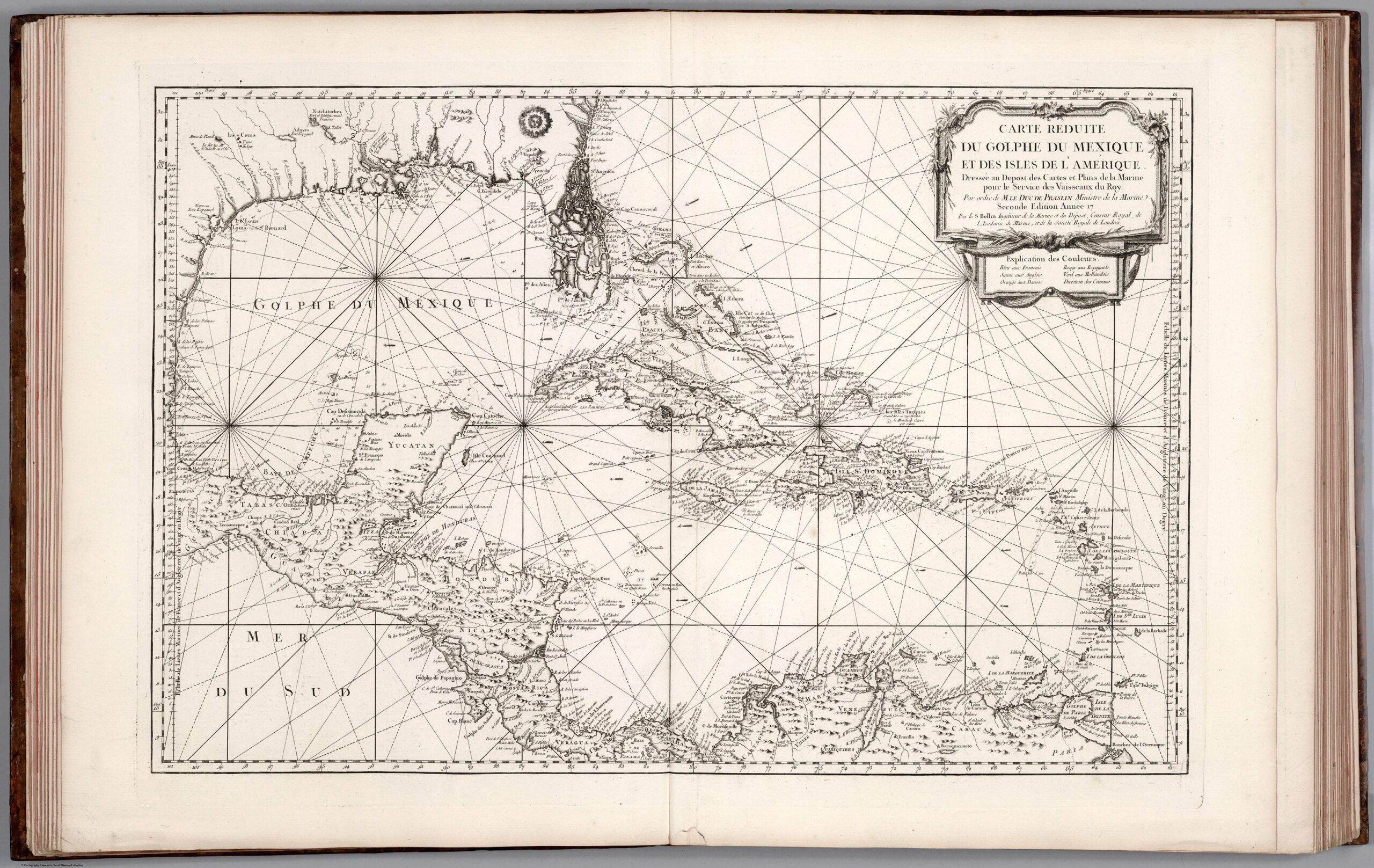
After a gulf rename, I got to browsing some historical maps. Jacques Nicolas Bellin drew this map in 1765.
This is not the first mention for the Gulf of Mexico though. That belongs to a map from 1550, according to Paul Galtsoff’s article (1954) for Fish and Wildlife Service:
Cortes, in his despatches, referred to the Gulf as Mar del Norte, while the names Golfo de Florida and Golfo de Cortes are found in the writings of other explorers. The name Sinus Magnus Antilliarum appears on an old Portuguese map made in 1558 by Diego Homen (original in British Museum). Probably the most remarkable name is that of Mare Cathaynum (Chinese Sea) which is found on one chart of the middle of the sixteenth century (copy reproduced in the Memoirs de la Societe de Nancy, 1832). In 1550 the name Golfo de Mexico appears for the first time on the world map the original of which, according to Kohl, is in the Bodleian Library in Oxford. Earlier Spanish geographers used, also, the name of Golfo de Nueva Espana. Herrera (1728) called it Ensenada Mexicana and Seno Mexicano, the names which persisted in Spanish admiralty charts until the eighteenth century. The present name, the Gulf of Mexico, and the corresponding names, Golphe du Mexique in French and Golfo Mexicano in Spanish, appear to have been in use since the middle of the seventeenth century.
Become a member. Support an independent site. Get extra visualization goodness.
See What You Get
