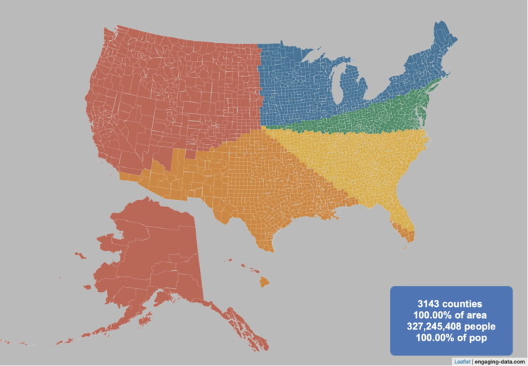
By Engaging Data, this interactive map shows various splits of the United States with the condition that each division has the same population:
This visualization lets you divide the US into 1,2,3,4,5,8 and 10 different segments with equal population and across different dimensions. The divisions are made using counties as the building blocks (of which there are 3143 in the US). There are numerous different ways to make the divisions. This lets you make the divisions by different types of geographic directions and divisions by population density.

 Visualize This: The FlowingData Guide to Design, Visualization, and Statistics (2nd Edition)