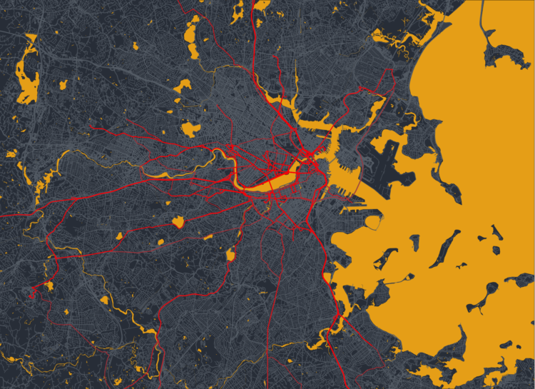
If you can make maps in your software and customize the aesthetics, you can make map art. Esteban Moro outlined how he made a personalized map in R:
For my map art, I wanted to create something more personal: a combination of those beautiful street maps with personal mobility. That is, the city and how we navigate it. In this tutorial, you’ll learn how to create those street maps for your city and your mobility. We will use data from Open Street Maps (OSM) and, of course, R. We will also use personal mobility data, which you can input manually. Still, we will learn too how to get it from Google Maps Timeline (if you have your location activated). Part of the material here is based on the tutorial by Christian Burkhart.

 Visualize This: The FlowingData Guide to Design, Visualization, and Statistics (2nd Edition)