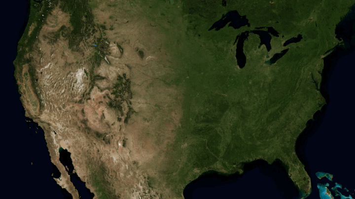
Horace Mitchell for NASA’s Scientific Visualization Studio mapped the massive drainage basin that is the Mississippi Watershed.
The Mississippi Watershed is the largest drainage basin in North America at 3.2 million square kilometers in area. The USGS has created a database of this area which indicates the direction of waterflow at each point. By assembling these directions into streamflows, it is possible to trace the path of water from every point of the area to the mouth of the Mississippi in the Gulf of Mexico.
Redirect to California, please. Thanks.
 Visualize This: The FlowingData Guide to Design, Visualization, and Statistics (2nd Edition)