This Tract, by Michal Migurski of Stamen, with some help from Craig Mod, lets you view details of your block by way of Census data. It’s still using 2000 data but was built in anticipation of the 2010 release, which should come in a couple of months. So we’ll probably see some improvements from now until then.
Enter your location or browse the slippy map for information on race, income, gender, education, age, and housing. There are also aggregates for your Census tract, county, state, and country.
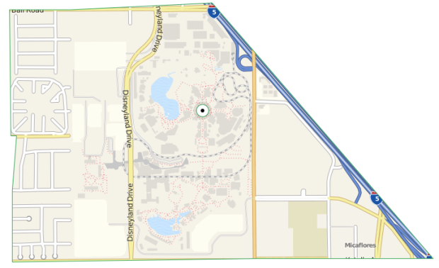
Above is the tract where you’ll find Disneyland, and below are age breakdowns. Mmmm, donut.

I particularly like the technology lovefest at the bottom of the page, full of open-source goodness:
Geographic lookup by FCC’s Census Block Conversions API. Tract outlines from U.S. Census shapefiles. Demographic data from U.S. 2000 Census by way of census-tools. Map tile imagery courtesy of MapQuest
and OpenStreetMap. Donut charts by Protovis. Slippy maps by Modest Maps JS. Browser geolocation bits from YQL Geo Library by way of Max Wheeler.
The mini-app is available on Github, by the way. Have an idea on how you can make use of the tract data? Have at the code yourself.
[This Tract via @eagereyes]
 Visualize This: The FlowingData Guide to Design, Visualization, and Statistics (2nd Edition)
Pingback: “This Tract” Is An Amazing Way To Access U.S. Census Data | Larry Ferlazzo's Websites of the Day...
Pingback: Links: Answers to Nothing, This Tract, and Me | Eval Central
Pingback: Link love for January 21 | Sympathy for the Robots
Pingback: Your Neighborhood Data Visualized: Startup Builds Census Map Block by Block | JetLib News
Pingback: Startup Builds Census Map Block by Block | Finding Out About
Pingback: Link love for January 21 | Nofi dot org