For Carto, Matt Forrest explains why you shouldn’t use ZIP codes for spatial analysis:
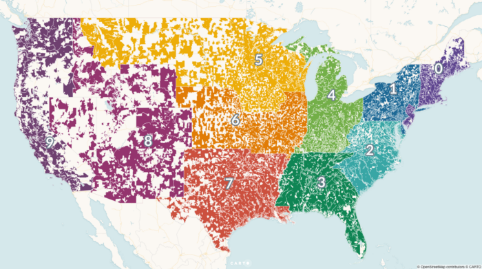
The problem is that zip codes are not a good representation of real human behavior, and when used in data analysis, often mask real, underlying insights, and may ultimately lead to bad outcomes. To understand why this is, we first need to understand a little more about the zip code itself.
In a nutshell, ZIP Codes don’t represent geographic areas, so it doesn’t make sense to treat them like they are.
 Visualize This: The FlowingData Guide to Design, Visualization, and Statistics (2nd Edition)