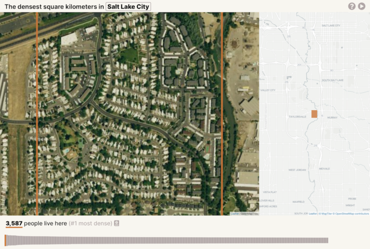
Based on data from Gridded Population of the World, geographer Garrett Dash Nelson calculated the square kilometers in major cities with the highest population density.
In the interactive visualization, I’ve taken GPW data for a curated selection of American cities. Some have old, historic cores, and others are dominated by more recent development; some have constricting physical geographies and others lie on relatively flat, open plains; some were built for horse transportation and others for the automobile era.


