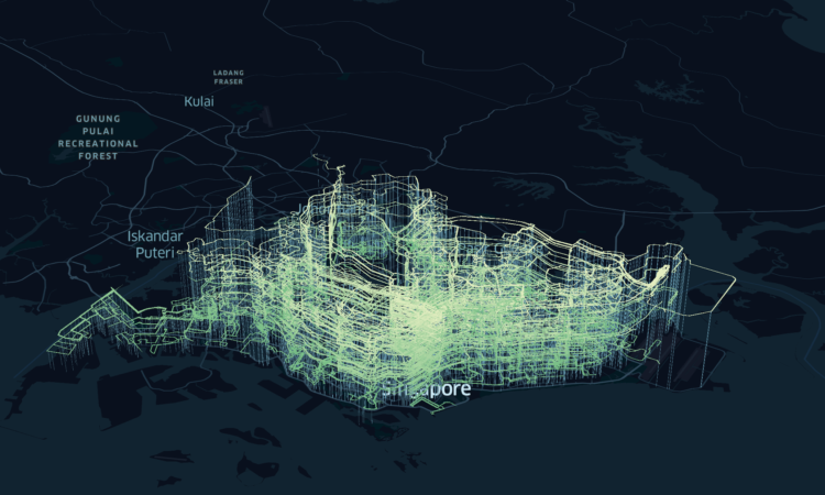
Speaking of 3-D usage on maps, here’s a map of bus routes in Singapore stacked one on top of the other. I’m not sure it’s especially useful to find individual routes as intended, but the overall distribution of routes seems like it might be interesting to someone familiar with the area. Or, maybe it’s world’s greatest roller coaster.
Stacked bus routes on a map
Second Edition
 Visualize This: The FlowingData Guide to Design, Visualization, and Statistics (2nd Edition)
 Visualize This: The FlowingData Guide to Design, Visualization, and Statistics (2nd Edition)
New tools, refined process.