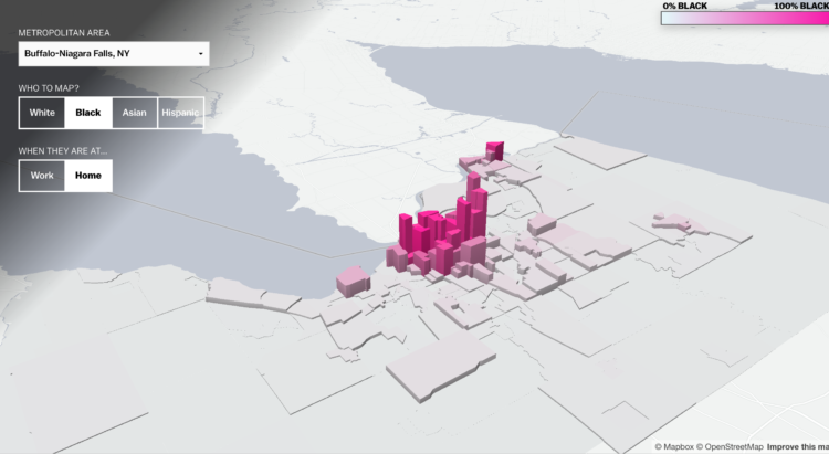
Based on commuting data from the Census Bureau, researchers Matthew Hall, John Iceland, and Youngmin Yi tracked segregation during the day and night. Alvin Chang for Vox mapped their results:
They found that when white people go to work, they are around only slightly more people of color than when they’re in their home neighborhoods. But for everyone else, going to work means being exposed to many more white people — and far fewer people of their own race.
Browse the map to see the results for your own city.
It appears that the 3-D map is making a small comeback (Thanks, Matt Daniels), to the delight of some and perhaps to the chagrin of others. I’m ready for it. I wonder when data graphic résumés are coming.


