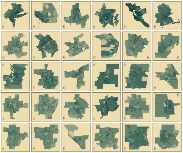
Mapping geographic data in R can be tricky, because there are so many ways to complete separate tasks. It’s a jumble of options and you have to figure out how to put the pieces together. This course walks you through the steps so that the process isn’t so jumbley.
FlowingData members can access the course right now. Learn how to load geographic data, draw boundaries, map locations, and make data-driven maps that are publication-ready. Then refine the process and learn how you can apply it to your own data.
Not a member yet? Join now, and gain instant access to this course and others, along with the full visualization tutorials collection.