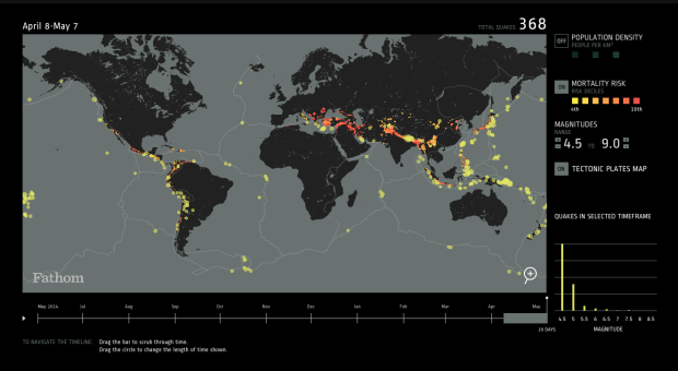
Fathom provides an interactive browser for a year of earthquakes, based on data from USGS. You’ve likely seen this data before, but the interaction is quite useful and applicable to other maps.
Filters on the right let you turn layers — population density, mortality risk, and the tectonic plates lines — on and off and subset by magnitude. The timeline on the bottom lets you scrub by time with an adjustable time span.


