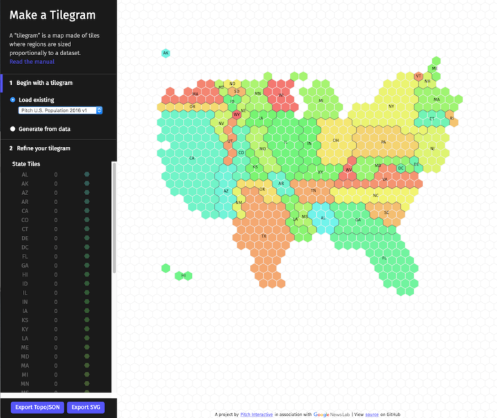
A challenge of using geographic maps to show data is that larger regions inevitably get more visual real estate. Cartograms try to solve this problem by sizing regions by the data instead of land mass. Tilegrams by Pitch Interactive makes it easy to construct tiled versions at the US state level.
Upload your data, adjust the resolution to your liking, and export for your own purposes. Nice.

 Visualize This: The FlowingData Guide to Design, Visualization, and Statistics (2nd Edition)