Maps  / 

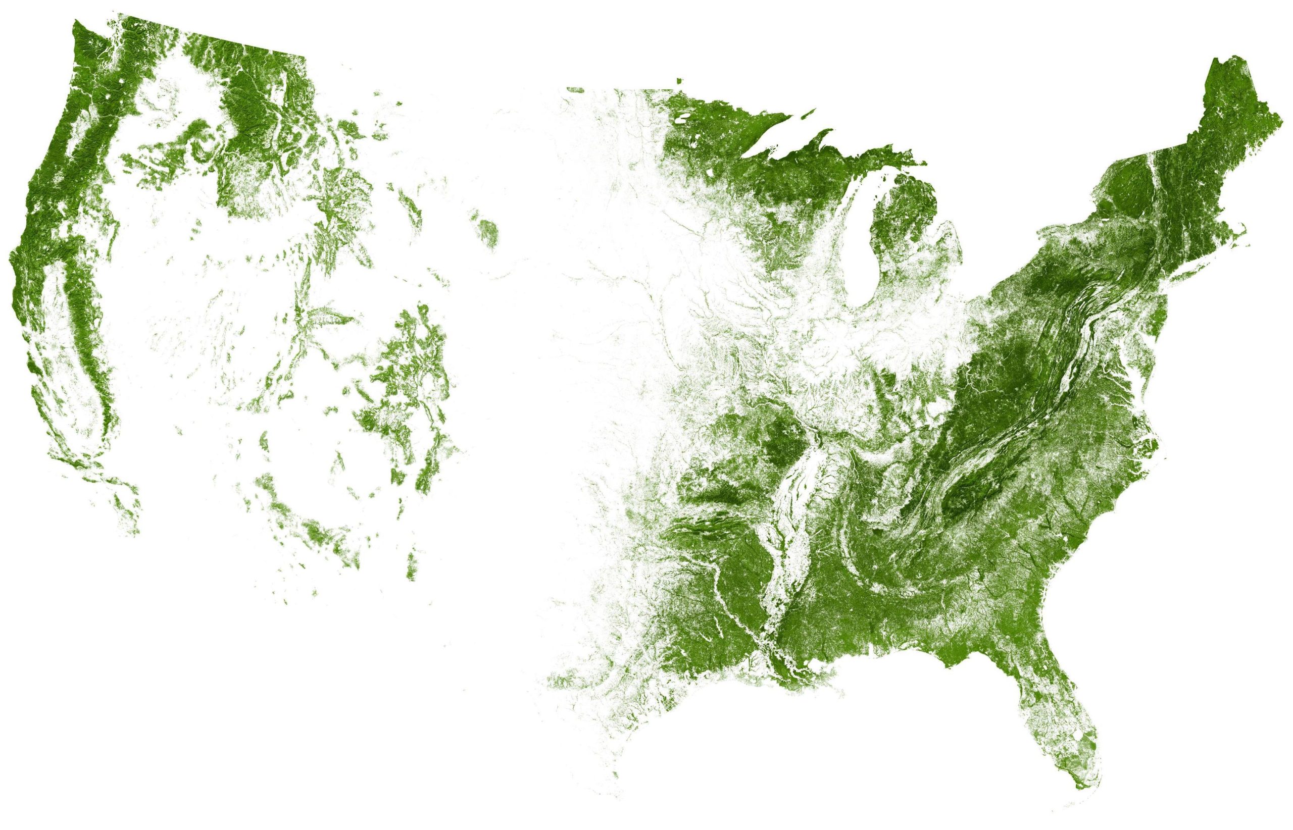
Map of all the trees and forests
Mar 11, 2020

EarthArtAustralia mapped all of the trees and forests in the United States, based on data from researchers Hansen et al. at the University of Maryland.

We’ve seen minimalist maps like this before, but the introduction of 90m digital elevation data provides another dimension:
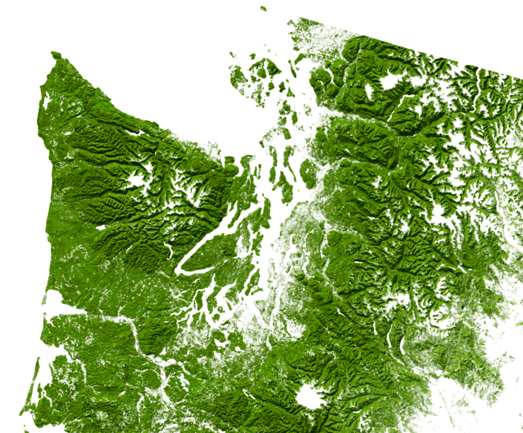
Pretty.

This map, among many others, is also available in poster form.

Become a member. Support an independent site. Make great charts.

See What You Get

Favorites

Interactive: When Do Americans Leave For Work?

We don’t all start our work days at the same time, despite what morning rush hour might have you think.

Unemployment in America, Mapped Over Time

Watch the regional changes across the country from 1990 to 2016.

Shifts in How Couples Meet, Online Takes the Top

How do couples meet now and how has it changed over the years? Watch the rankings play out over six decades.

How Much the Everyday Changes When You Have Kids

I compared time use for those with children under 18 against those without. Here’s where the minutes go.