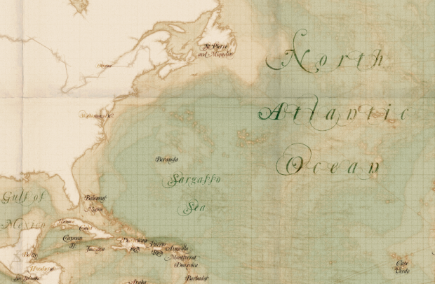
I’m late to this party. TileMill, by mapping platform MapBox, is open source software that lets you quickly and easily create and edit maps. It’s available for OS X, Windows, and Ubuntu. Just download and install the program, and then load a shapefile for your point of interest.
For those unfamiliar with shapefiles, it’s a file format that describes geospatial data, such as polygons (e.g. countries), lines (e.g. roads), and points (e.g. landmarks), and they’re pretty easy to find these days. For example, you can download detailed shapefiles for roads, bodies of water, and blocks in the United States from the Census Bureau in just a few clicks.
The fun part is that you can easily customize the maps using a map stylesheet, which is similar to CSS. There are examples with the software, so you can get a feel for how everything fits together. You can also export your results as an image file or as SVG to edit in your favorite vector-editing software. Or if you want to publish your map online, it’s straightforward to upload it to MapBox with an account.


 Visualize This: The FlowingData Guide to Design, Visualization, and Statistics (2nd Edition)

I am trying to build a map that shows a client’s service area as a map with included cities shaded. This tool seems ideal but I can’t find a shape file with just the outlines of the U.S. states and metropolitan areas.
Does anyone know where I can find this? Thanks!
@J. Holland: http://www.naturalearthdata.com/ has free & easily usable state outlines & metro areas as points & polygons.
Looks like a great product, but within 5 minutes I had two errors and all I tried to do was add a shapefile layer.
Andrew, it’s a great product. Use the documentation and support forums. Keep at it, and you’ll see…
Gents,
Does any knows if there is a way to export data from R to TileMill