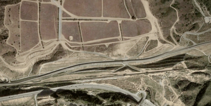
There’s been a lot of talk about building a wall at the U.S.-Mexican border lately. Seems straightforward enough, right? Just put some bricks up and be done with it. Well, it’s not really that easy, just from a logistics standpoint. Nevermind the politics. Josh Begley for the Intercept grabbed satellite images for the 1,954 miles of boundary line and then strung together the 200,000 images in a time-lapse to show the scale of what “build that wall” means.
Visualizing the U.S.-Mexican border


