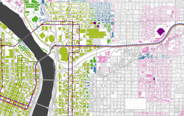
Justin Palmer and his family have lived in a dense urban area of Portland, Oregon for the past seven years, but now they’re in the market for somewhere more spacious. He narrowed his search down to two main criteria — walking distance to a grocery store and walking distance to a rail stop. The search began with open data.
I defined walking distance as ~5 blocks, but ~10 blocks is still a pretty sane distance. I want to be close to a grocery store and close to a MAX or Streetcar stop. Unfortunately, none of the real estate applications I tried had a feature like this so I decided to create what I needed using open data that I had already been working with for some time now.
Code snippets and explainers follow for how Palmer found his target zones, using a combination of the data, a database, and TileMill.


