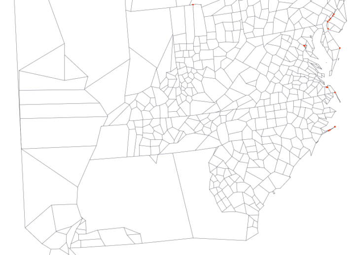
Map making is a finicky challenge where oftentimes your map data — points, lines, and polygons — must align just right with your external data that exists as a CSV file or related. Mapshaper is an online tool that helps you massage your geographic data to where it needs to be.
The online application has been around for a while, but I only recently used it, and it’s kind of magical. It’s one of those things where you half expect the whole thing to fail, and then when it seems to be working you still expect there to be some wrinkle that makes using the tool a pain. Not so with Mapshaper.


 Visualize This: The FlowingData Guide to Design, Visualization, and Statistics (2nd Edition)
