A lot of the time when making plans to meet up with friends or family, you’re not so concerned with how far possible locations are than you are how long it takes to get there. Similarly, when deciding where to live relative to your workplace, you care more about how long it takes to get to work in the morning than you do how many miles away it is. Mapnificent lets you do this. Place the pin on the map, and see where you can get in a specified amount of time via public transportation or bicycle.
You can also search for locations near you, such as coffee or restaurants. It’s built on top of Google Maps, and it works similarly, but the difference is that locations within your time range are highlighted.

For a full explanation of the beta application, watch the video below, or just give it a try for yourself. It’s a simple concept, but potentially really useful.
[Mapnificent via @ricardmp]
 Visualize This: The FlowingData Guide to Design, Visualization, and Statistics (2nd Edition)
This is awesome! I live in St. Louis and commute by bike (don’t have a car), so this is really useful.
I’m sure there are limitations to the practicality of it, particularly due to traffic, but I’d love to see an implementation of this for average driving times.
Even if it was computationally impractical for a web browser, I’d love to be able to generate a map of “equipotential lines” around a couple of pre-selected origins. For example, it would be cool to see what’s 15 minutes away from home, what’s 30 minutes away, what’s 45 minutes away, etc., with an option to “turn on/off” traffic.
great- soon we won’t actually have to think at all …
No, it means we can think more about other less trivial things.
Mapumental http://mapumental.channel4.com/signup did this quite a while ago for the UK. Instead of adding restaurants they added house prices and the rating of the area (which I think considered crime, pollution etc). Both very useful What-if tools.
My quest to find a place in NYC that’s not insanely far away from my school just got a lot more effective.
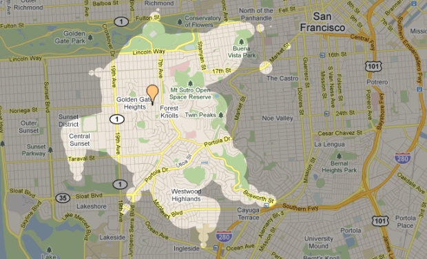
This is hilariously bad for where I live (near Upper Market in San Francisco). The area alleged to be within the ‘no longer than 15 minutes’ zone is at least half in the ‘probably not much longer than 1 hour’ zone. I mean, this isn’t even close. Laughably useless for San Francisco. Maybe it’s the terrain not being taken into account? Seriously, the only reason some of the ‘no more than 15 minutes’ label is valid is because _I can walk there_ within 15 minutes.
It’s a “walk or ride” map i think, @PaulR
Very pretty indeed–my company recently built a similar service with some additional improvements. Here’s an animation of NYC: http://urbanmapping.com/blog/index.php/2011/05/23/zombies-in-nyc/