
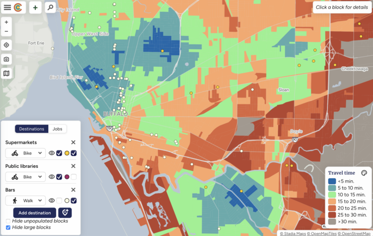
When deciding where to live, most people want to know what’s nearby so you don’t have to drive an hour to get to the nearest grocery store or school. Close is a mapping tool that shows what’s within walking, biking, and transit distance in a given city.
The fun part is that you can choose the combination of location, amenity, and travel mode relevant to you. The map updates to show how long it takes to get to the places.
 Visualize This: The FlowingData Guide to Design, Visualization, and Statistics (2nd Edition)
