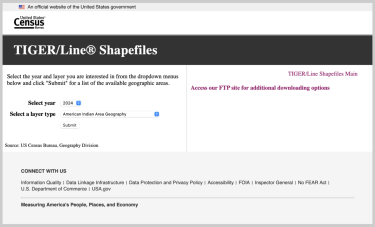
As of this evening on February 4, 2025, the TIGER/Line shapefiles, which provide legal boundaries at various geographic levels, are currently unavailable on the Census website. The site is there, but when you try to download something via the menus, you get a box of nothing.
Actually, poking around more, it seems that any Census web interface that relies on downloads via FTP gets you a 403 error. Data.census.gov is still up.
In the meantime, IPUMS, which has worked with national agencies over the past couple decades, still has microdata. They sent this email earlier today:
As you may already be aware, on Friday, January 31, federal agencies removed public data and documentation previously made available via public-facing federal government websites in response to administration directives. The types of data removed include large-scale population data sources that provide vital insight into the health and wellbeing of all communities.
We are writing to reassure you that IPUMS data remain available, and that IPUMS remains committed to preserving and democratizing access to the world’s population data.
We are monitoring this evolving situation closely. As part of our standard procedures, we download and preserve original data from U.S. statistical agencies that serve as the source data for IPUMS. Since last Friday, several organizations (and individuals) have downloaded many other public federal datasets. There are efforts underway to catalog and make these data available. We will share resources and guidance when we have it about how to locate or share missing data.


