Where the Crops Grow
Since weather and land availability vary across the country, so do the crops. This is the cropland geography of the United States.
![]() Click the maps to embiggen.
Click the maps to embiggen.
Grass and Grain
Grains take up the most space — especially corn and wheat in the midwest. The former has found its way east, west, and south, too, although not as prominently.
Flower and Seed
Alfalfa and other hay-related flowering plants are spattered across the country. The other flower and seed crops are regional, such as cotton in the south and canola in the north.
Fruit and Vegetable
Fruits and vegetables are a lot more regional than the above. I assume a big part of that is weather.
Nut and Legume
The nuts and legumes are also highly regional. There are peanuts in the south, chickpeas and lentils in the northwest, and almonds, walnuts, and pistachios in California. Soybeans are the standout. The United States should eat more tofu.
Combination
Some areas grow more than one crop, as shown below.
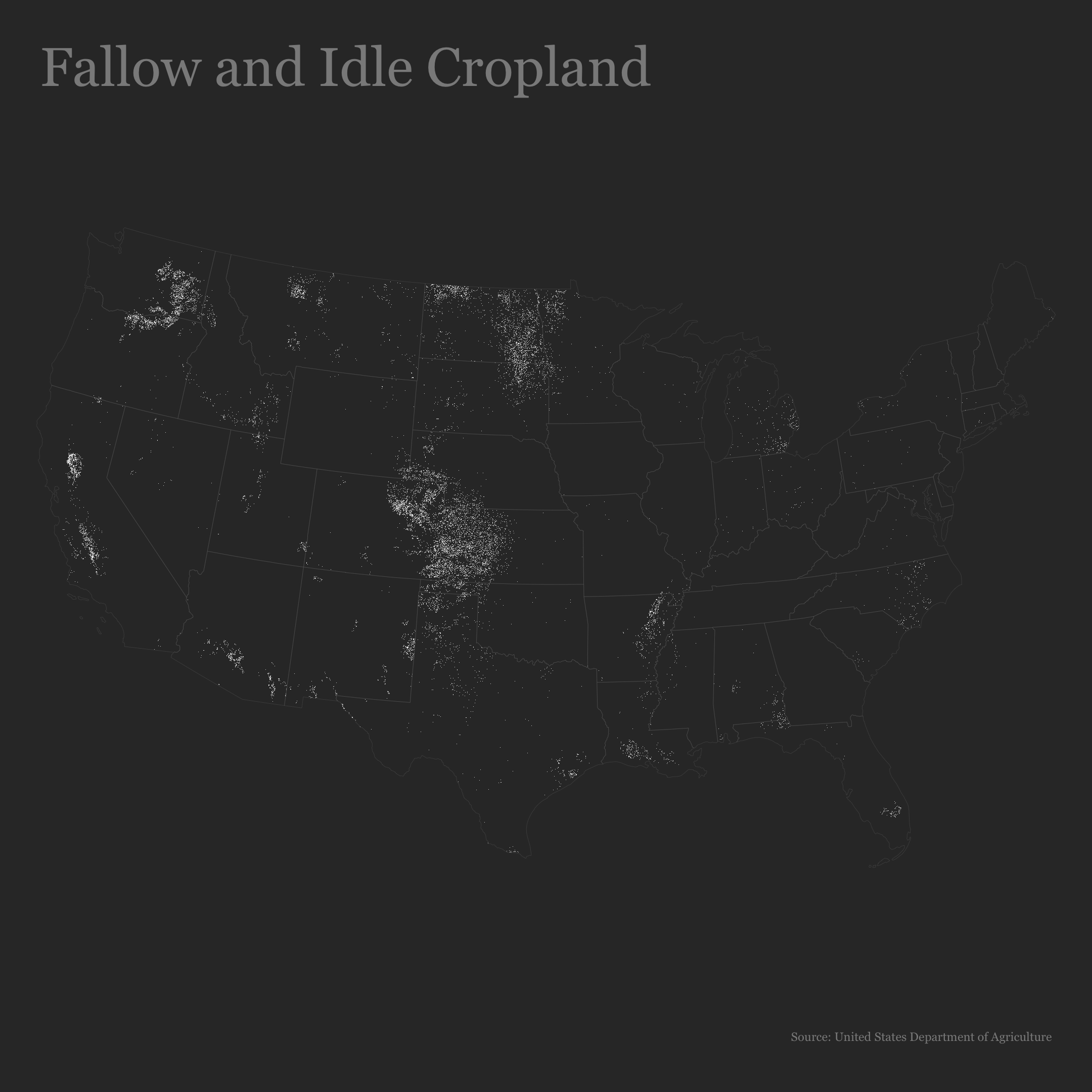
No Crops
Some cropland is not in use as of 2022.

The data is from 2022 with a spatial resolution of 30 meters. It comes from the United States Department of Agriculture, and they’ve released a data layer every year since 2008.
USDA produces estimates based on satellite imagery, which isn’t foolproof, but seems to be good for a wideout view. Some crops were low density and low accuracy. I did not include them in the above set of maps.
I analyzed the data and made the maps in R.
Become a member. Support an independent site. Make great charts.
See What You GetFlowingData is made possible by supporting members. Since 2007, I, Nathan Yau, a real person, have been analyzing and visualizing data to help more people understand and appreciate it in their everyday lives.
If you liked this or want to make similar data things, please consider supporting this small corner of the internet. You get unlimited access to visualization courses, tutorials, and extra resources. Thanks. — Nathan


