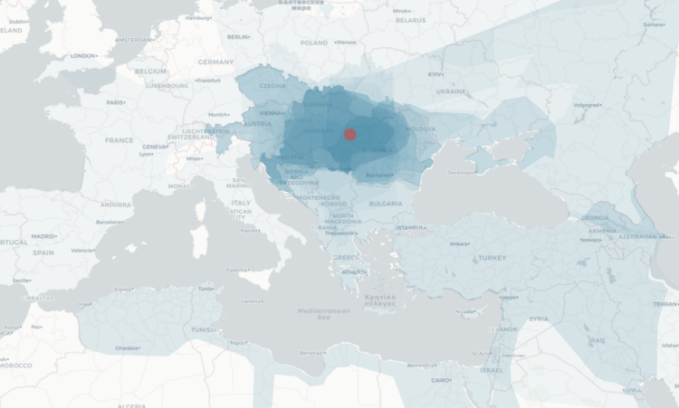
While geographic boundaries can often seem like a semi-static thing, they’ve changed a lot when you look at them on the scale of centuries. Point in History, by Hans Hack, presents a map of what boundaries used to be. Click anywhere to see the history.
For example, select the United States, and you see the country’s past boundaries, but then it keeps going back in time to BC years of hunter gatherers.
The map is based on the historical basemaps project, which you can access here.
 Visualize This: The FlowingData Guide to Design, Visualization, and Statistics (2nd Edition)