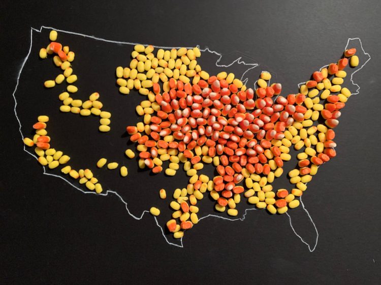
With candy corn as her medium, Jill Hubley mapped corn production in the United States, based on data from the USDA. With just three hues of yellow, orange, and white and three heights to match, Hubley was able to clearly show the geographical patterns.
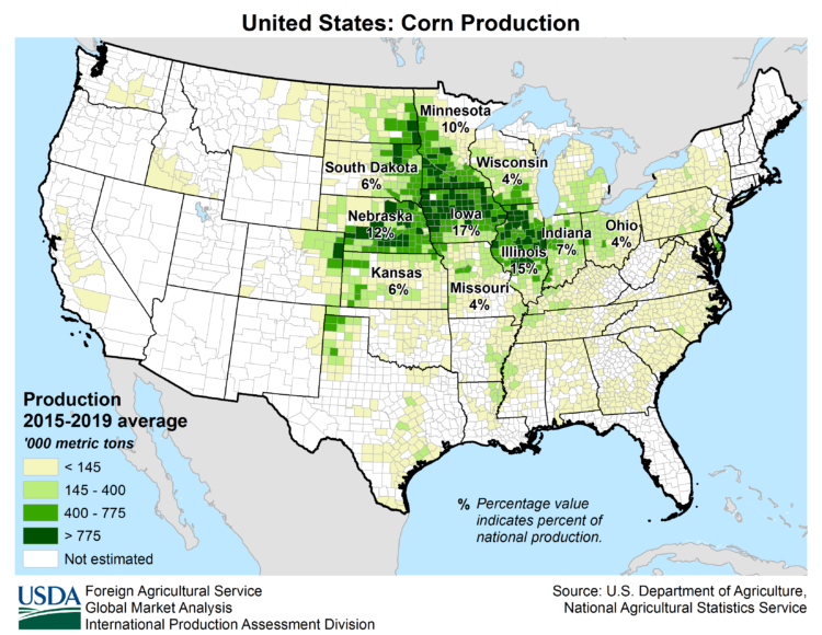
For reference, here is the USDA corn map:
Finally, I have a use for my kids’ leftover Halloween candy.
 Visualize This: The FlowingData Guide to Design, Visualization, and Statistics (2nd Edition)