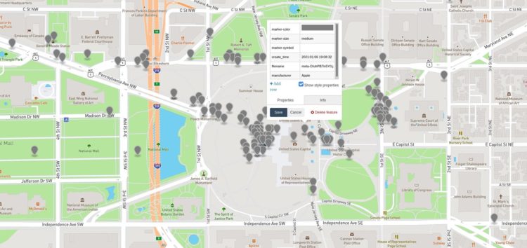
Just before the social network Parler went down, a researcher who goes by the Twitter username @donk_enby scraped 56.7 terabytes of data from the site via a less-than-secure API. Motherboard reports on what some researchers are doing with the data:
One technologist took the scraped Parler data, took every file that had GPS coordinates included within it, formatted that information into JSON, and plotted those onto a map. The technologist then shared screenshots of their map with Motherboard, showing Parler posts originating from various countries, and then the United States, and finally in or around the Capitol itself. In other words, they were able to show that Parler users were posting material from the Capitol on the day of the rioting, and can now go back into the rest of the Parler data to retrieve specific material from that time.
I’ve only seen some quick maps so far, but I imagine there’s much more to come in terms of closer analysis and visualization.


